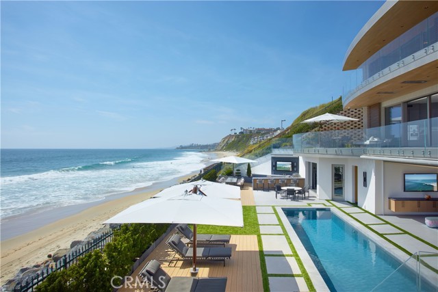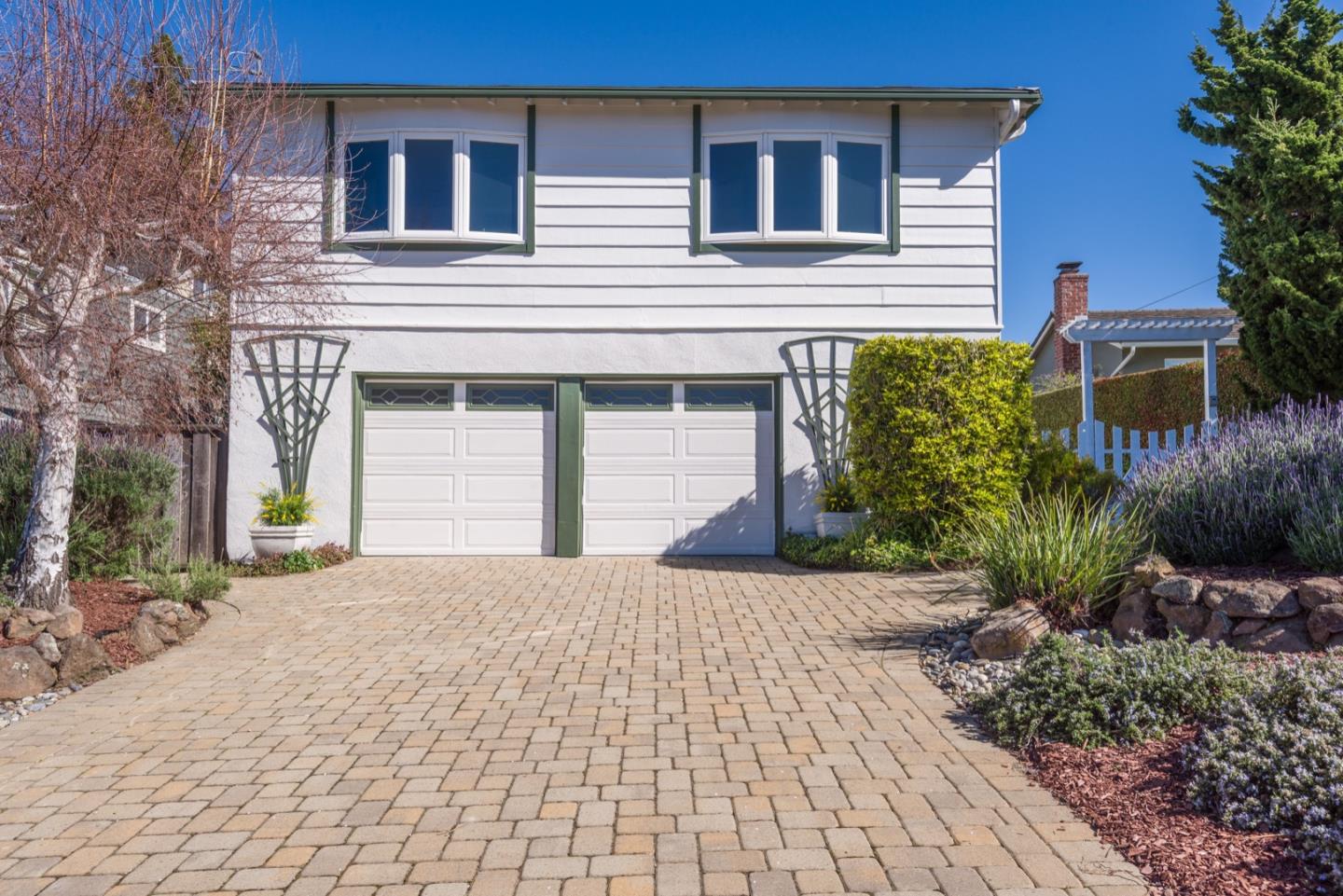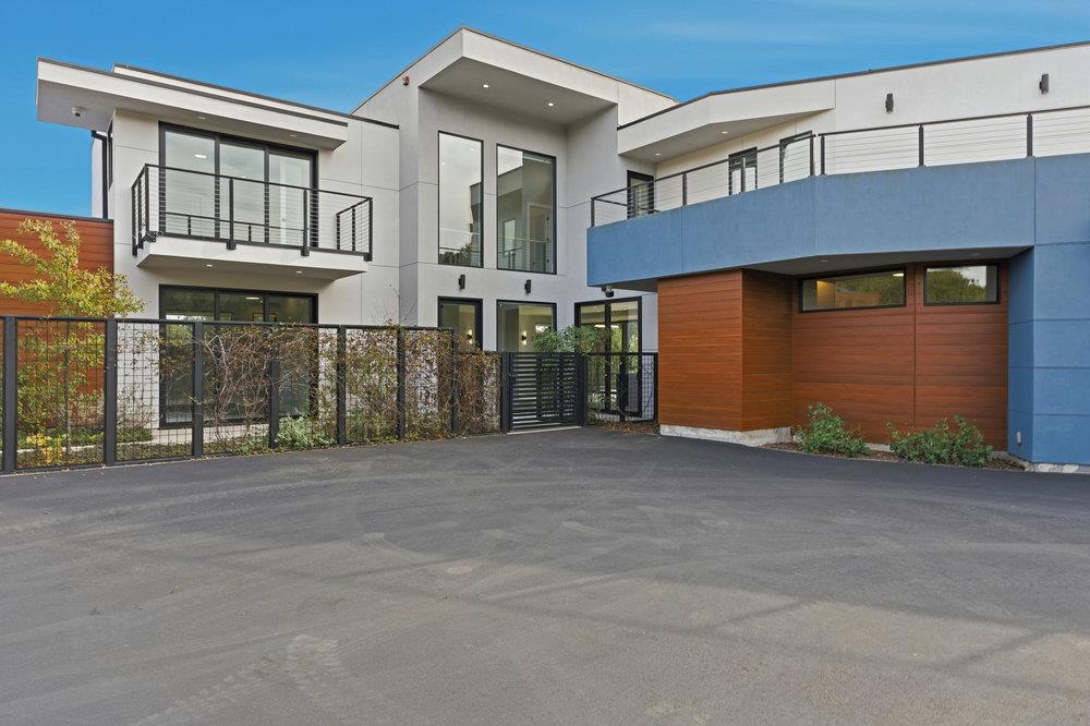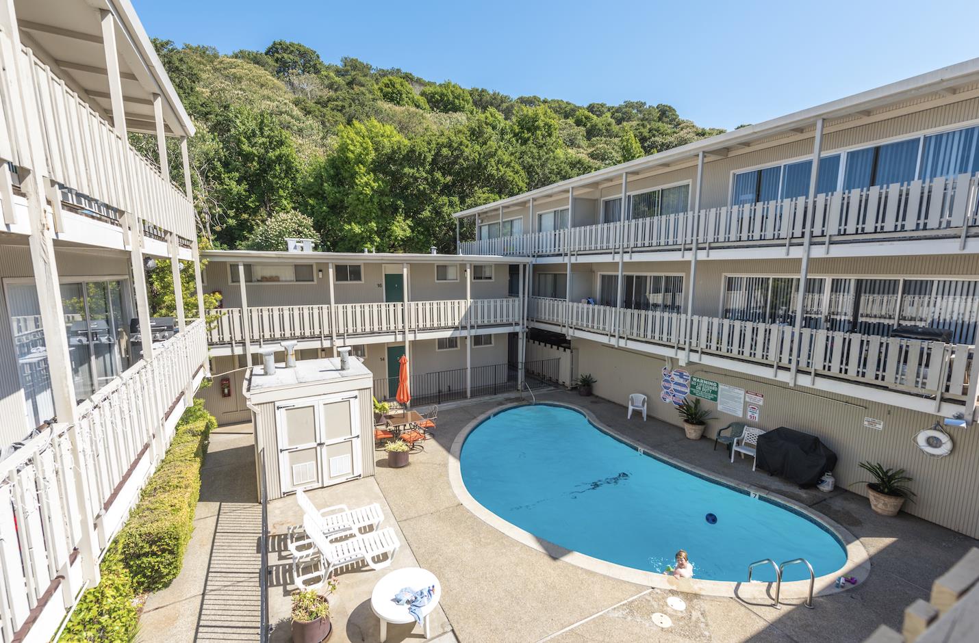
Belmont's streets rise quickly from the El Camino Real corridor into neighborhoods with winding roads and thick tree cover. This simple geographic fact affects almost everything: the way houses are entered, where a sunny patio sits, how people reach school or transit, and whether a home looks over nearby gardens or across a much wider part of the Peninsula.
Closer to the commercial corridor, residents encounter the Caltrain station and everyday businesses. In the hills, quiet cul-de-sacs, trails and scenic approaches can feel much farther from the regional network. Belmont does not have one universally typical residential block.
Belmont developed at the intersection of early Peninsula settlement, railroad connections, and later residential expansion. The estate landscape and the grounds of what became Twin Pines Park retain an older sense of place, while postwar subdivisions spread into the higher hills.
The city's vision for the Belmont Village district around the Caltrain station acknowledges its rail heritage and the opportunity for a more connected civic-commercial center. That planned evolution contrasts with established hillside neighborhoods where the street network and open-space interface shape the experience.
Names and reporting boundaries are approximate. Geologic conditions, wildfire exposure, road grade and school assignments should be confirmed for each property.
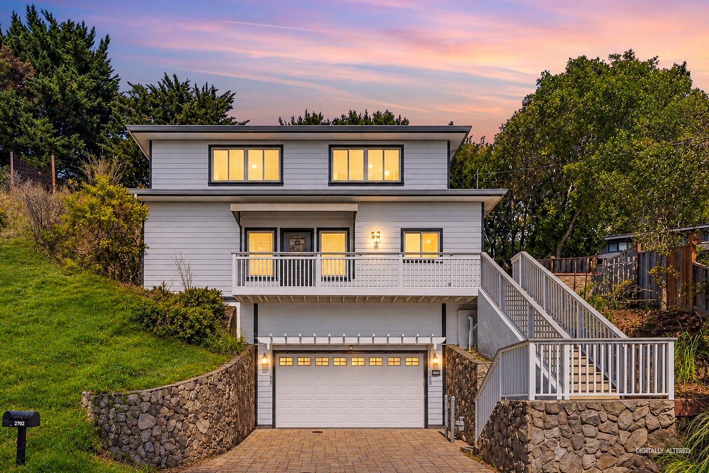
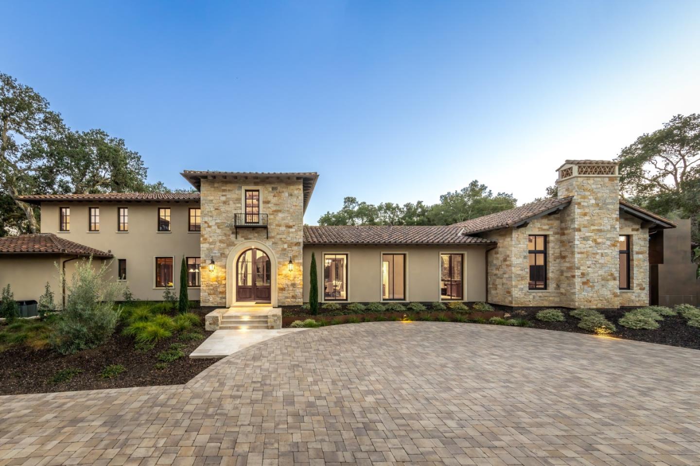
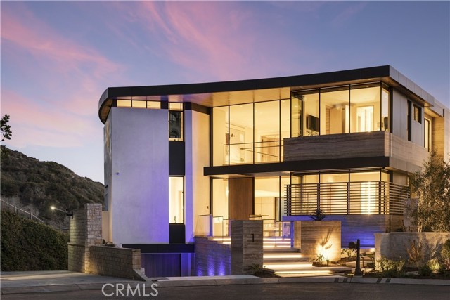
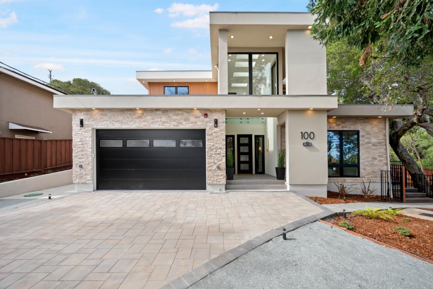
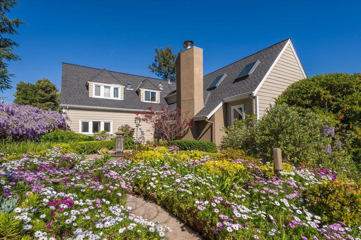
Belmont Heights sits within the city's changing hill terrain, with a mix of older houses, modernized homes, and individually designed properties. Narrower or curving roads, mature trees, and parcels that do not lie flat all contribute to its atmosphere.
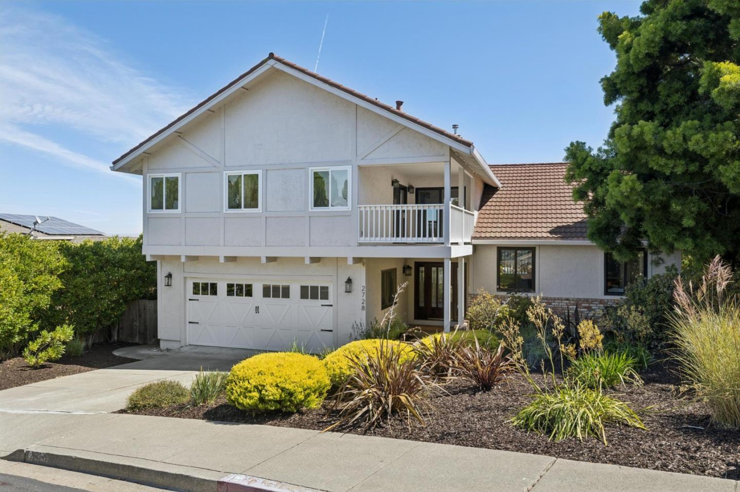
An elevated deck may capture a view, but a house one block away may be far more sheltered. Floor layout, garage connection, drainage and landscape maintenance can be part of daily comfort.
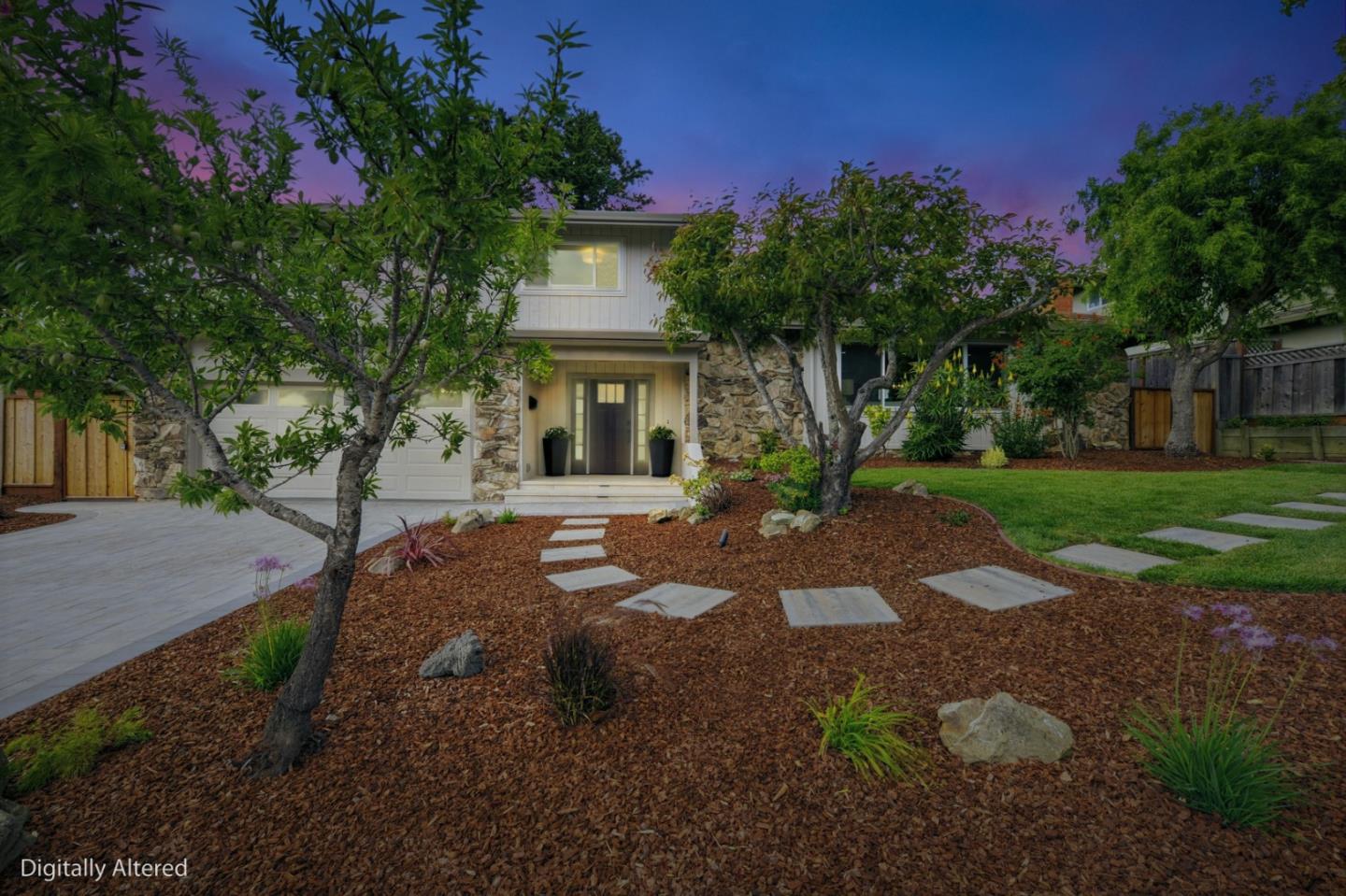
Cipriani includes established residential streets whose houses respond to the gradual climb into western Belmont. The mixture of ranch houses, split levels and later remodeling creates individual block character.
Access to parks and schools may be practical, but apparent map distance does not always translate into a level walking route. The same applies to public transit and shopping.
The western neighborhoods approach Waterdog Lake Open Space and surrounding wooded slopes. Roads curve around terrain and some properties back onto or face natural landscapes, creating a distinctive residential experience.
The proximity to open space also introduces responsibilities: vegetation management, emergency routes, property drainage, and current fire-hazard information. It is unwise to assume every parcel has identical exposure or that a visible trail is publicly accessible from a backyard.
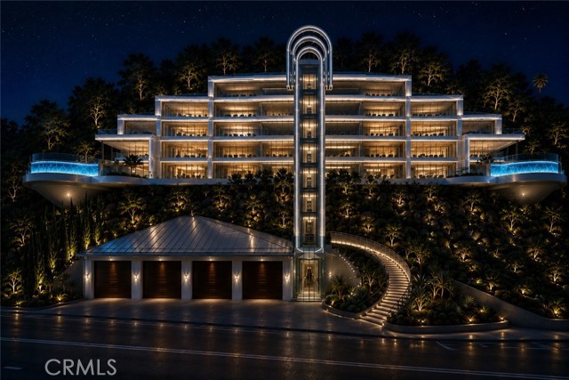
The Plateau–Skymont area demonstrates the changes in light and outlook that occur on Belmont's ridges. Some homes have wide perspectives, while others emphasize private wooded gardens. Houses may be split across levels or use terraces to adapt to slopes.
The nearby San Juan Canyon open space contributes to the natural feel but warrants site-specific awareness of wildfire conditions and evacuation access. A beautiful hillside setting should be described alongside practical ownership considerations.
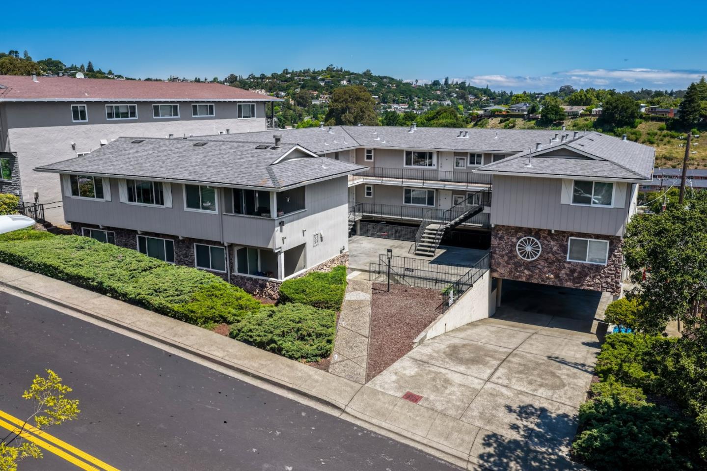
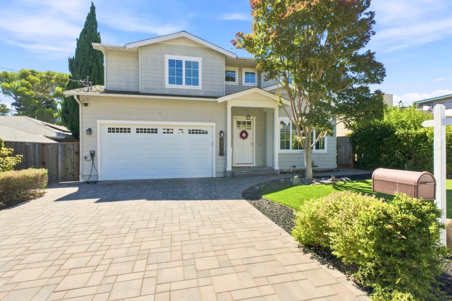
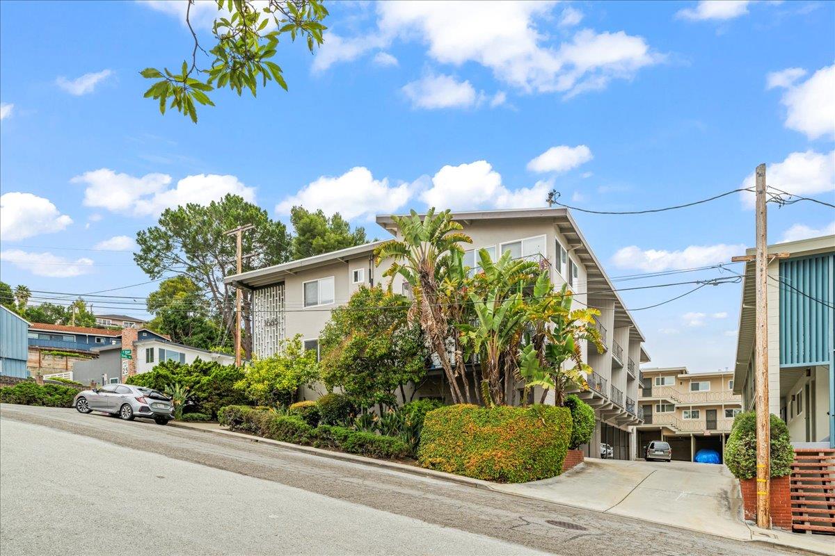
Near El Camino Real and the rail station, the city is more connected to commercial services, transit and neighboring San Carlos or San Mateo. Housing may include smaller detached homes, apartments, townhomes and other attached options.
These homes offer a different life from the hills. Walkability, parking and the influence of the railroad or major road corridors deserve close attention, as does the possibility of change around the Village planning area.
Twin Pines Park is an established gathering space near the city center, with historic buildings, gardens and open areas. Waterdog Lake Open Space supplies a much more rugged recreational experience, with trails crossing wooded slopes and canyons. The two parks express the city's contrasting landscapes.
Belmont's neighborhoods are also shaped by schools, the library, recreation programs and everyday errands on or near the El Camino Real corridor. School boundaries and particular campus assignment are address-specific; a hillside view is not a proxy for a district map.
Caltrain connects Belmont with other Peninsula cities. Highway 101, Interstate 280 and Highway 92 provide different regional options, though their practical usefulness varies depending on which side of the hills a home occupies. The weather is generally mild with dry summers and wetter winters, but shade, exposure and topography can produce noticeably different conditions.
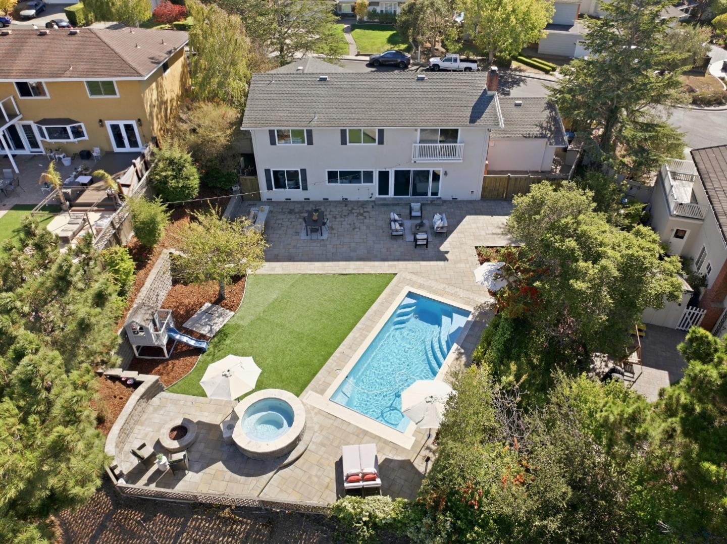
Belmont is an important reminder that usable land is not equivalent to gross lot area. A small level outdoor space near living rooms may serve daily routines better than a much larger parcel of steep hillside. On the other hand, a wooded slope or exceptional outlook may be precisely what makes a property special. Both require credible, site-specific assessment.
Belmont's appeal comes from a mix of Peninsula access, hillside privacy, neighborhood streets, and proximity to open space. The premium attached to any one home depends on more than an address label: usable outdoor area, slope engineering, views, layout, building condition, traffic access and insurance considerations all contribute.
Owners considering renovation should investigate setbacks, permits, geotechnical needs, tree constraints and future maintenance. Sellers can strengthen the presentation of a hillside home by showing how the building actually works on its site, rather than simply highlighting its elevated position.
No single Belmont price trend represents every neighborhood and housing type. Detached hillside properties, lower-area houses and attached homes require their own comparables.
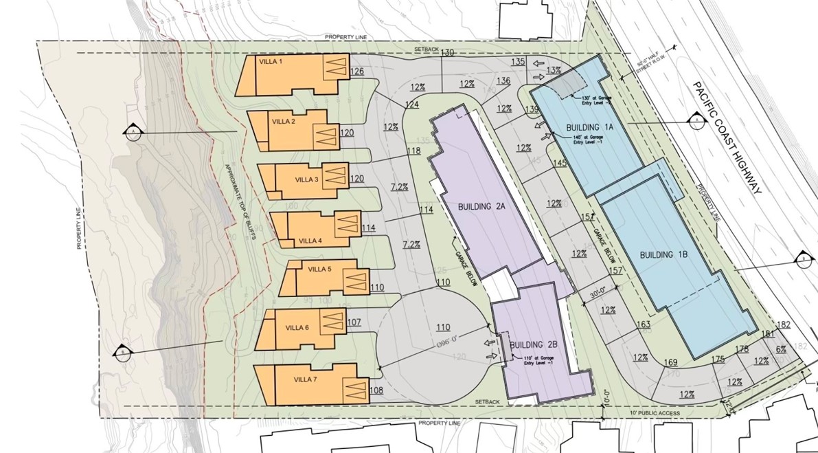
Belmont's topography changes sharply across short distances. One parcel may be nearly level with a private garden; another may be steep with a terraced deck and large undeveloped slopes. Lot area by itself misses grade, access, slope stability, trees, light and drainage. A property-specific site assessment is essential.
Waterdog Lake Open Space is a larger natural landscape with trails and canyon terrain. It is not the same as an active playground or sports field such as those within more traditional park settings. The open-space edge also introduces wildlife, vegetation, fire and trail-access questions for nearby residents. Always confirm designated entry points instead of assuming direct backyard access.
No. Belmont Caltrain sits closer to the lower commercial corridor, while western hillside streets can have steep routes or indirect crossings. A straight-line distance may not describe how an older adult, a cyclist or someone with a stroller actually travels. The service pattern and first/last-mile conditions should be checked for the relevant commute.
The strongest presentation explains the home and the land together: views where present, drainage, retaining systems, permitted improvements, garage and driveway access, usable garden spaces, and recent comparable sales. Wen Group's architecture-informed approach can make a complex site understandable without reducing value to a view photo or total parcel area.
Belmont's identity lives in the transition from regional corridor to wooded slope. The pleasure of a hillside home, a trail at Waterdog, or an afternoon in Twin Pines is specific and local. Understanding those different scales makes the city much more compelling than a generic description of a convenient Peninsula suburb.
Browse the available properties in the area below.
Browse the available properties in the area below.