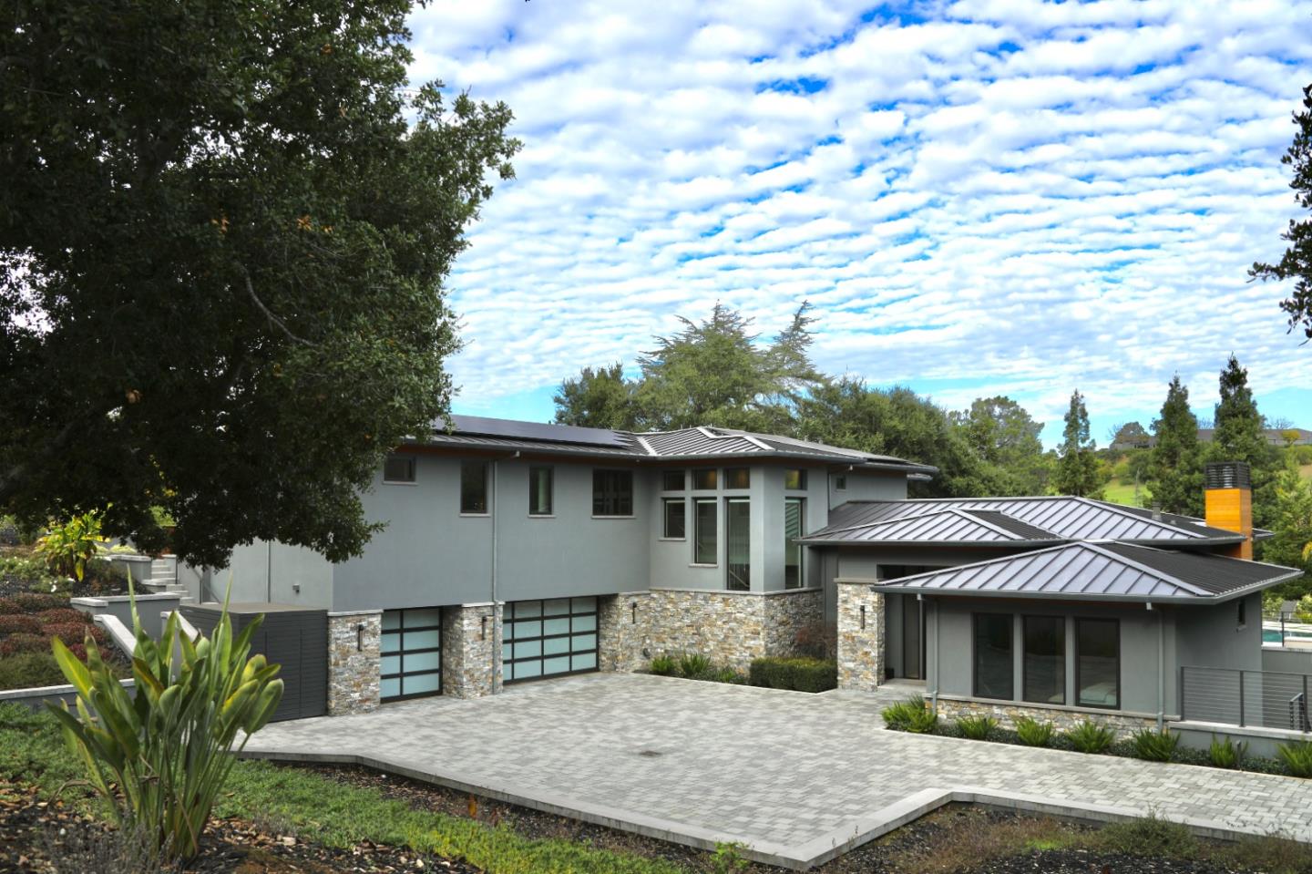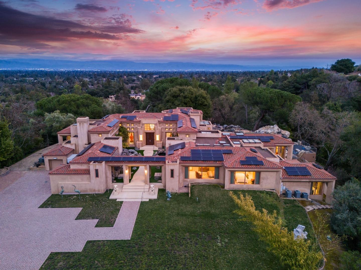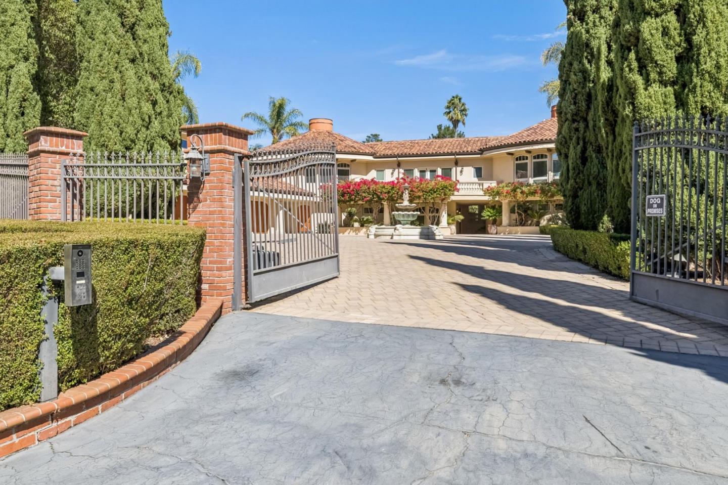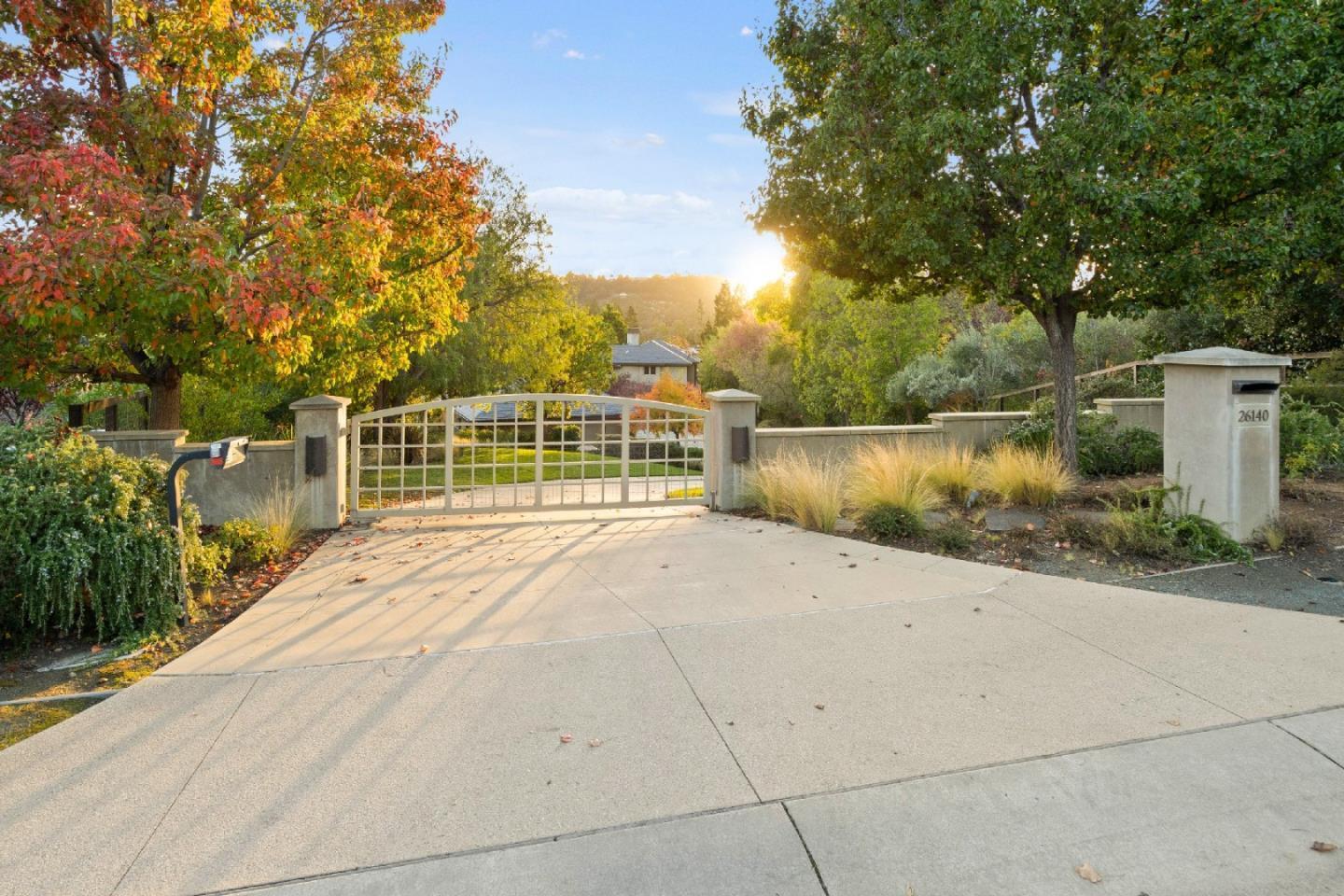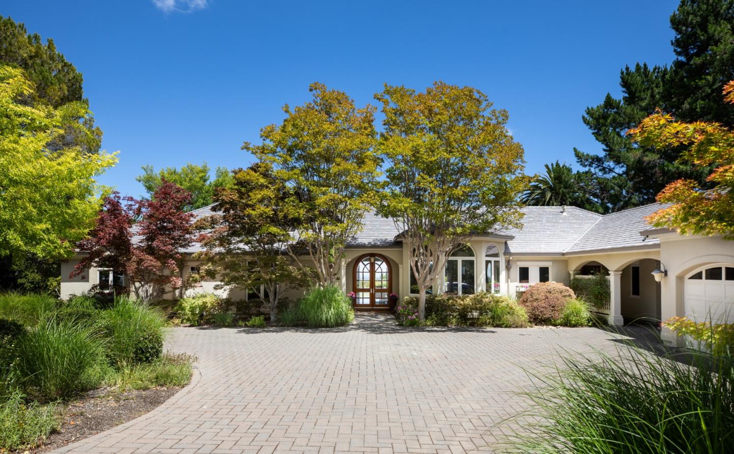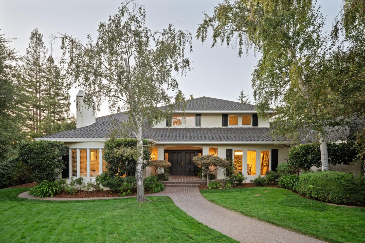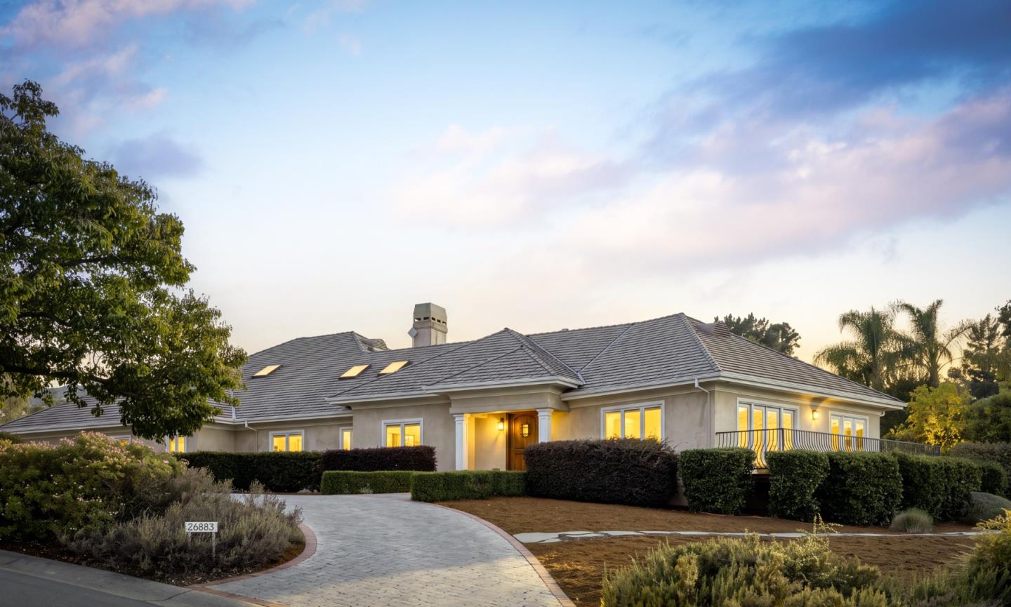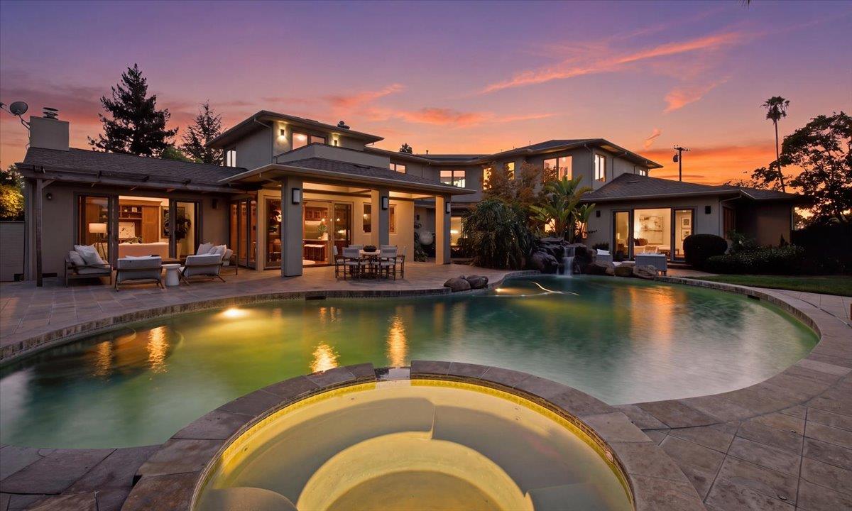
Los Altos Hills is not merely the western extension of Los Altos. It is its own municipality, incorporated in 1956, with a different approach to residential density and a strong civic commitment to open space, vegetation, and pathways. Its roads change with the terrain: some move through relatively gentle valleys and broad lawns; others climb toward views or pass beneath groves of mature trees.
The experience of a house here is inseparable from the land. Morning light, road grade, privacy, water flow, usable outdoor area, and the position of mature trees can shape life more than an interior square-footage figure. Neighbors may share a town name and yet live in completely different physical conditions.
Incorporation arose from residents' desire to preserve the area's rural identity as surrounding Peninsula cities grew after World War II. A one-acre lot tradition and a network of paths for walking and horses became fundamental parts of that vision. The town's land use is not a blanket promise that every parcel measures precisely one acre or can be developed in the same way; existing parcels, slope, setbacks, easements, and regulations vary.
The pathway system is especially distinctive. In communities built around sidewalks, daily movement is tied to the curb. Here, easements and off-road paths can link residential streets, provide recreational routes, and serve as alternatives during emergencies. Pathway conditions, public access, and obligations on private land require reference to the town's actual maps.
Neighborhood terminology is informal, and many areas are best understood through corridors, ridge positions, and terrain rather than neat subdivision lines.
Roads near Purissima and the town's more central valley areas can connect to the Town Hall, library, parks and schools while retaining a quiet residential atmosphere. Some properties emphasize broad gardens and relatively gentle contours, while others sit above the roadway on sloping ground.
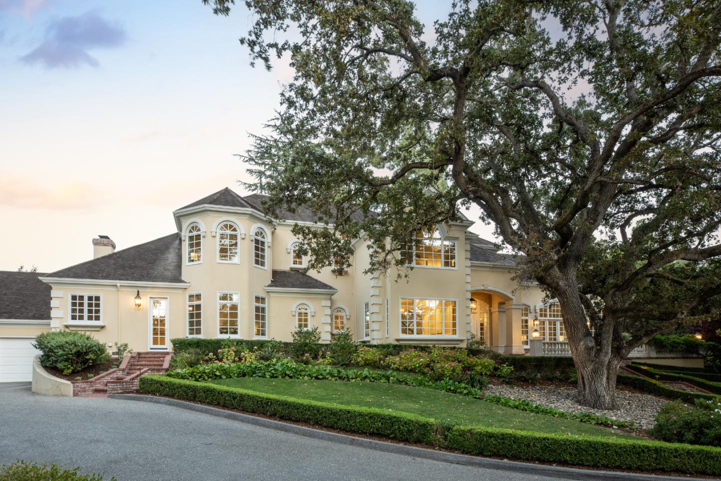
The quality of land matters here: a long driveway, existing trees, protected creek areas, or required pathways may all affect how the site can be used. A large parcel can feel remarkably private even if its practical level space is limited.
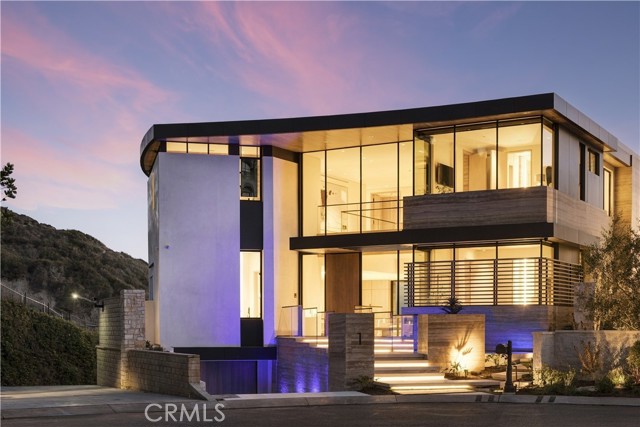
Along higher roads, a residence may orient toward the Bay, distant hills, or treetops. The direction and permanence of any outlook are property-specific. Design strategies vary from terraces stepping down a slope to low-profile buildings that follow contours and preserve mature vegetation.
Daily logistics matter: driveway slopes, emergency access, drainage, geotechnical conditions and insurance can be more consequential than the grandeur of a photograph. Those should be treated as part of architectural quality rather than afterthoughts.
Los Altos Hills includes drainage corridors and wooded settings associated with local creeks. These parcels can feel cool and sheltered under a canopy, with changing seasonal light and strong landscape character.
Riparian vegetation, setbacks and water management can impose real design constraints. Homeowners planning additions, landscape improvements or tree work should consult current municipal rules and parcel-specific reports.
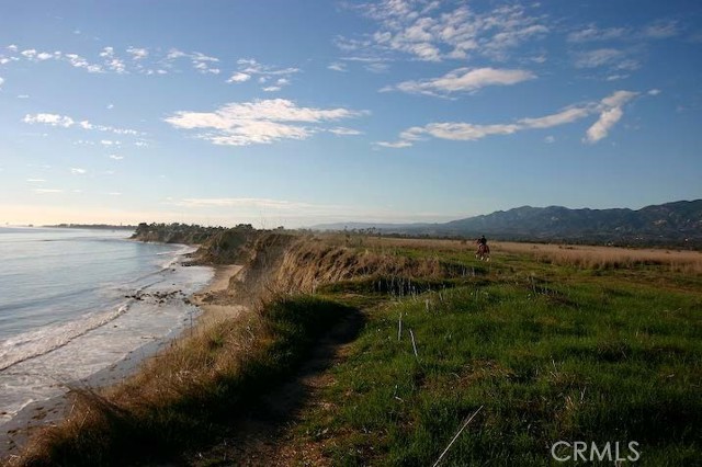
Some properties retain barns, riding areas, or other features connected with the town's equestrian heritage. The pathways network contributes to a distinctive culture of walking and riding, but not every trail is suitable for every activity and not every property can accommodate horses.
An equestrian-oriented property has its own considerations: safe access, fencing, water, drainage, maintenance and applicable animal-keeping rules. This is a different kind of land use from a simple lawn surrounding a large house.
Los Altos Hills has no conventional downtown shopping district. The Town Hall, library, playing fields and local schools function as civic anchors, while Downtown Los Altos, Palo Alto, Mountain View and other neighboring centers supply much of the dining and retail life.
Residents often balance quiet home life with work and cultural destinations across Silicon Valley. Because roads are winding and some areas are steep, a short aerial distance is not necessarily a convenient walk or bike ride. The distinction between the town and unincorporated county properties with similar mailing addresses is important.
School districts are not uniform across every address. Parts of the town fall within Los Altos and Palo Alto educational systems or other applicable districts, and attendance must be checked with official sources. Nearby open-space preserves and equestrian routes add recreation choices, although park boundaries and access points are separate from residential property lines.
Interstate 280 is an important regional connection, with secondary roads leading into the residential areas. There is no Caltrain station within the town; service is reached in neighboring cities. The climatic pattern is broadly Mediterranean, but elevation, trees and aspect can meaningfully change conditions at an individual home.
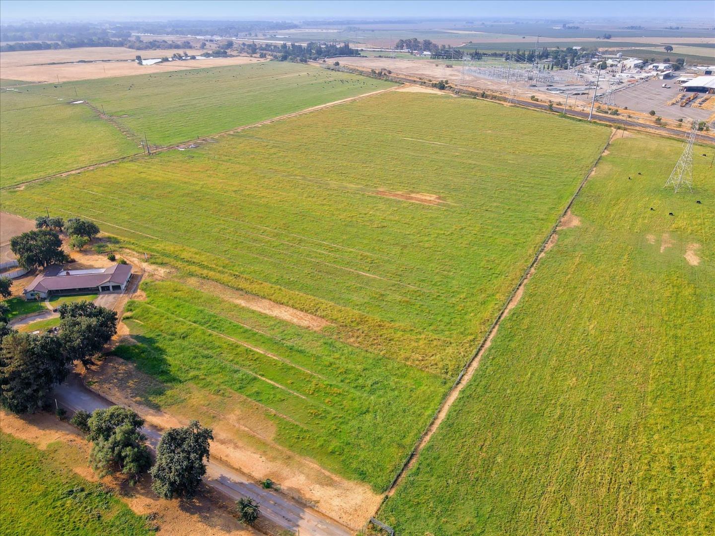
Los Altos Hills makes the difference between gross lot size and useful site area particularly clear. A parcel that appears enormous on a listing may contain steep slopes, drainage features or other limits; another of comparable size may offer a broad, level lawn and unusually adaptable building placement. Neither is inherently better for every household, but their practical value can differ substantially.
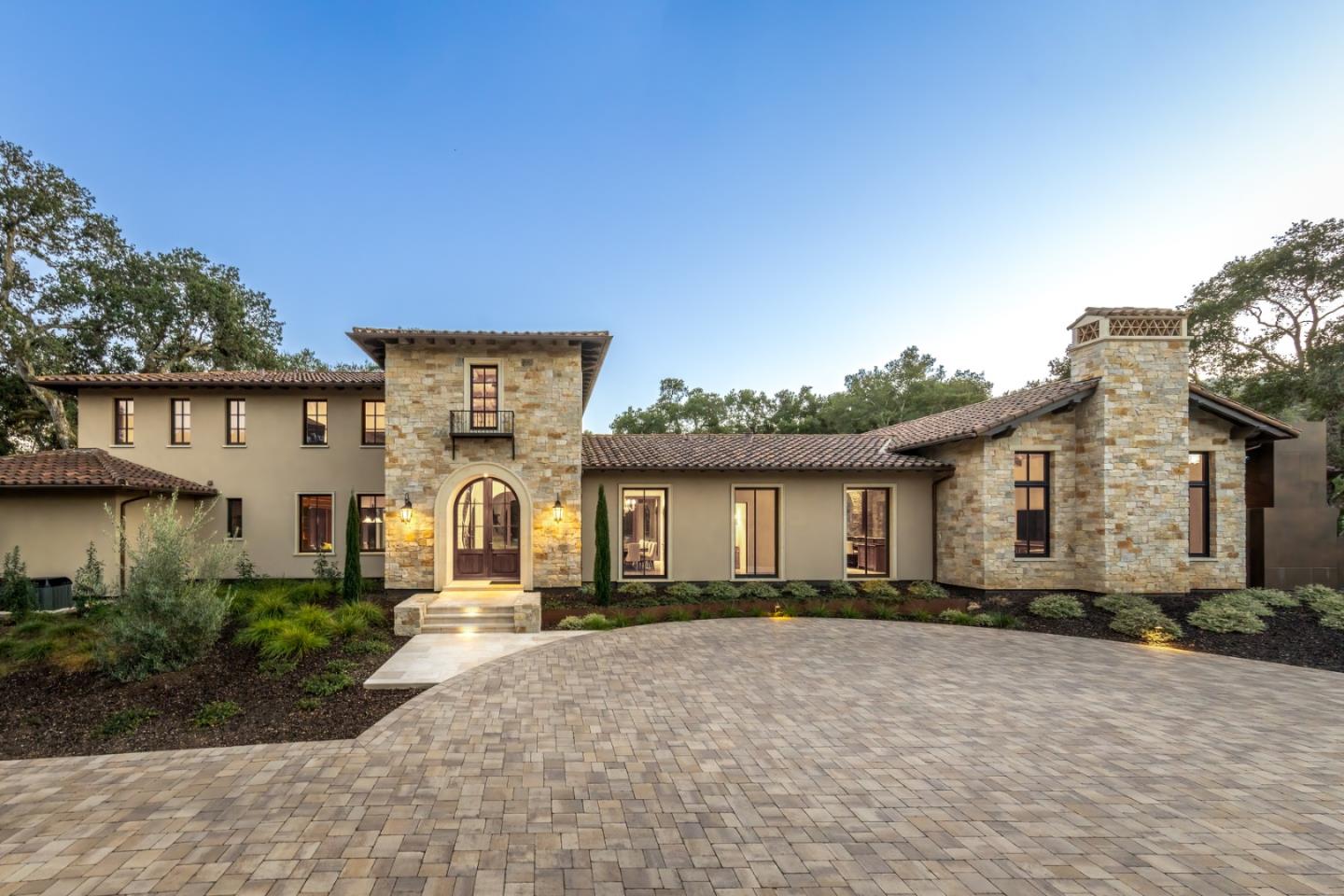
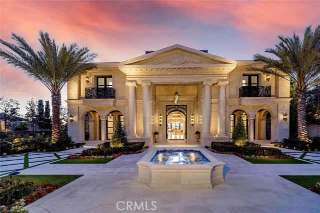
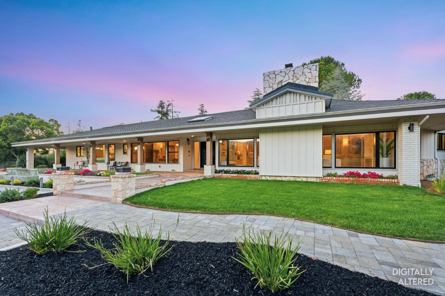
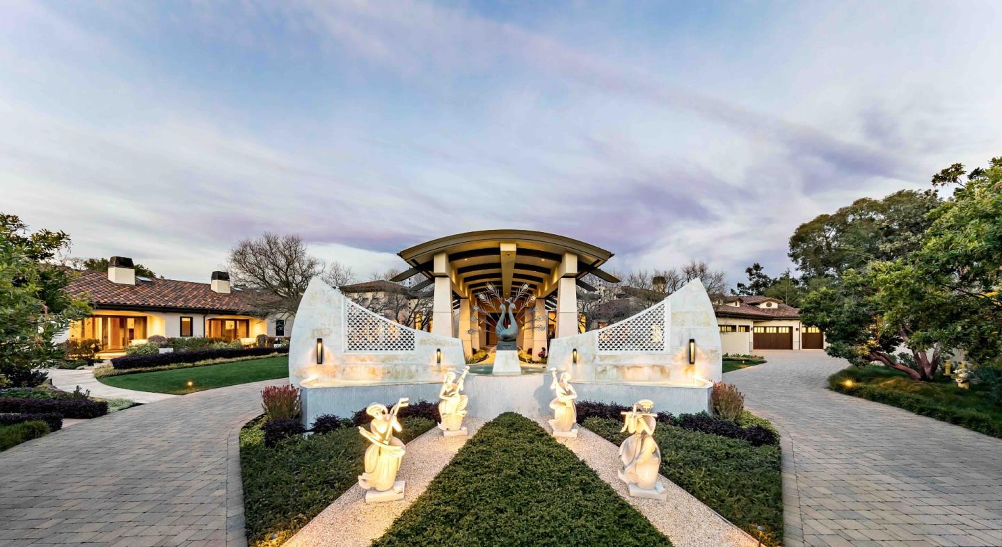
Architecture should respond to the land instead of simply maximizing enclosed floor area. Privacy, sunlight, outdoor circulation, a coherent driveway approach and sensitive landscape design can create a more lasting sense of luxury than size alone. The town's rural setting can support enduring appeal, but it is not a guarantee of price appreciation.
Preparation for a sale or major improvement should begin with accurate understanding of setbacks, development area, site access, pathways, geotechnical conditions and permitted structures. The real story is the property as a landscape system, not just the residence.
No. The City of Los Altos and the Town of Los Altos Hills are separately governed communities with different land-use settings and policies. A Los Altos mailing address does not by itself establish that a property is in either municipality, and some nearby parcels may have county jurisdiction. Always verify the exact parcel and agency before describing zoning, school assignments or allowable improvements.
Paths are part of Los Altos Hills' rural planning history and are used for circulation, recreation and emergency alternatives. Some routes are on dedicated easements crossing or adjoining private land. A property's pathway obligation, public access, maintenance and improvement rights should be evaluated through official maps, title information and town rules. A pathway near a house is more than a recreational feature on a map.
No. Acreage is only a starting measure. Usable level area, slope, road access, mature vegetation, drainage, geologic conditions, easements, views and development limitations all affect how a site functions. One acre of gently usable garden land and one acre of steep wooded hillside can produce completely different residential experiences and improvement costs.
Describe the actual land and house together: the approach, privacy, garden and outdoor-use areas, architecture, permitted improvements, current setbacks and any geotechnical or access documentation. Wen Group's architecture-informed marketing perspective is especially relevant when a buyer needs to understand not just interior finishes but how a unique foothill site can be used and maintained.
Here the everyday luxury is space in the widest sense: room for trees and sky, pathways beyond the front gate, and homes that can sit quietly within the terrain. The most rewarding way to understand Los Altos Hills is to notice the transitions—from a sunny valley garden to a wooded canyon, from a flat approach to a ridge—because those changes create its many local personalities.
Browse the available properties in the area below.
Browse the available properties in the area below.