Portola Valley sits west of Stanford, in a landscape of grasslands, wooded ridges, creeks and deep mountain views. It can feel remarkably removed from the Peninsula's busiest business corridors, yet many residents travel regularly to Palo Alto, Menlo Park and neighboring communities. The atmosphere comes from the amount of land left open as much as from the homes built within it.
Walking, cycling and trail use are integral to the local culture. People know roads not merely as commute routes but as approaches to open space, school, the library and the small gathering places near Portola Road and Alpine Road. As in other foothill towns, the actual feel of a property depends strongly on sun exposure, canopy, grade and access.
The town incorporated in 1964 amid community efforts to preserve low-density housing and the natural setting. Its planning history is especially notable for attention to geology. The San Andreas Fault traverses the area, and the town developed geologic mapping and review processes to inform land-use decisions.
Portola Valley's preservation ethic also has an architectural dimension: buildings are often intended to sit within the landscape rather than compete with it. The Town Center, opened in its present form in 2008, embodies that approach through its civic buildings, library and historic schoolhouse.
Several nearby areas have Portola Valley mailing addresses without being within incorporated town limits. Ladera and Los Trancos Woods, for example, need separate jurisdiction checks.
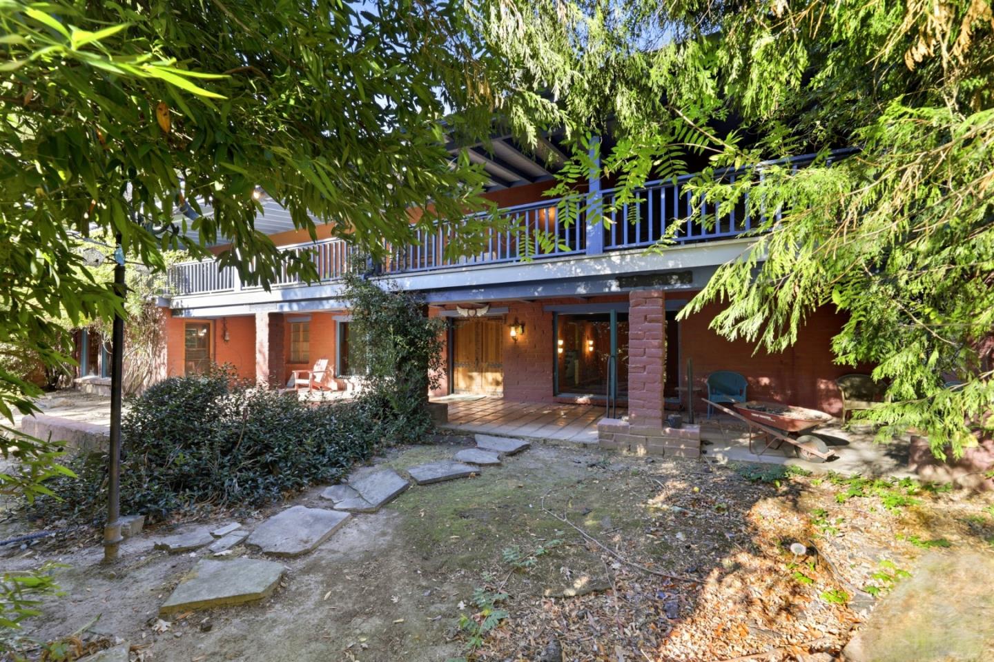
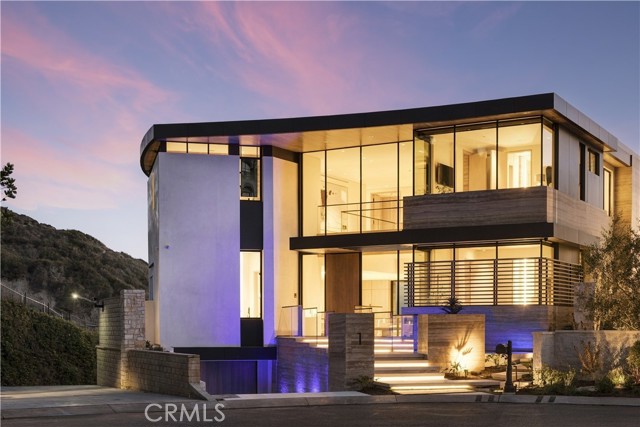
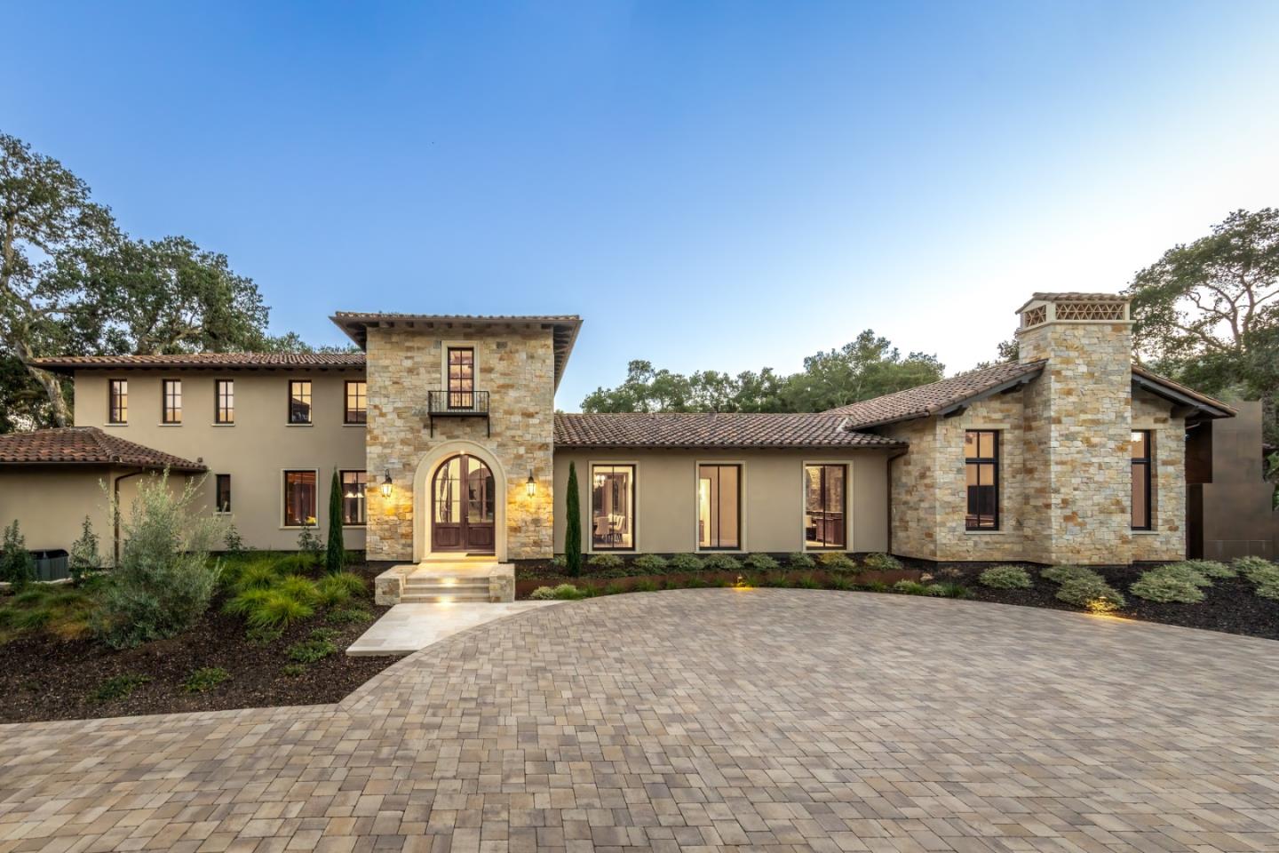
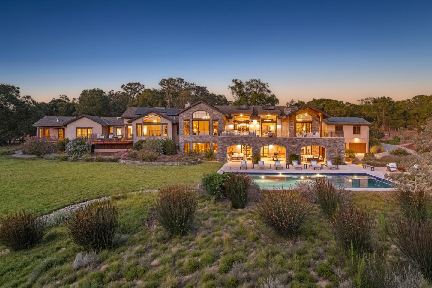
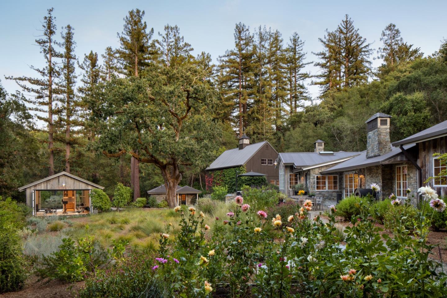
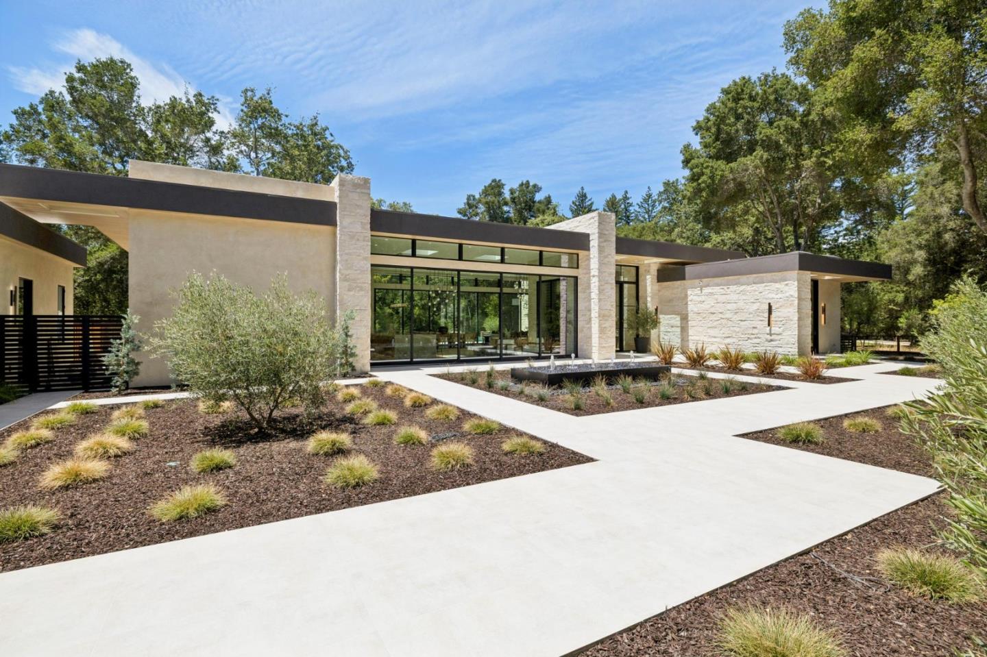
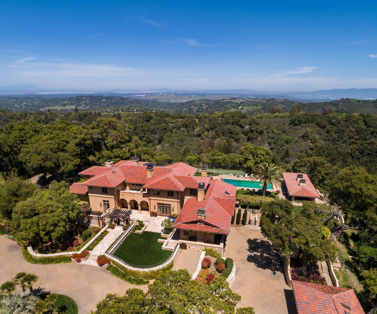
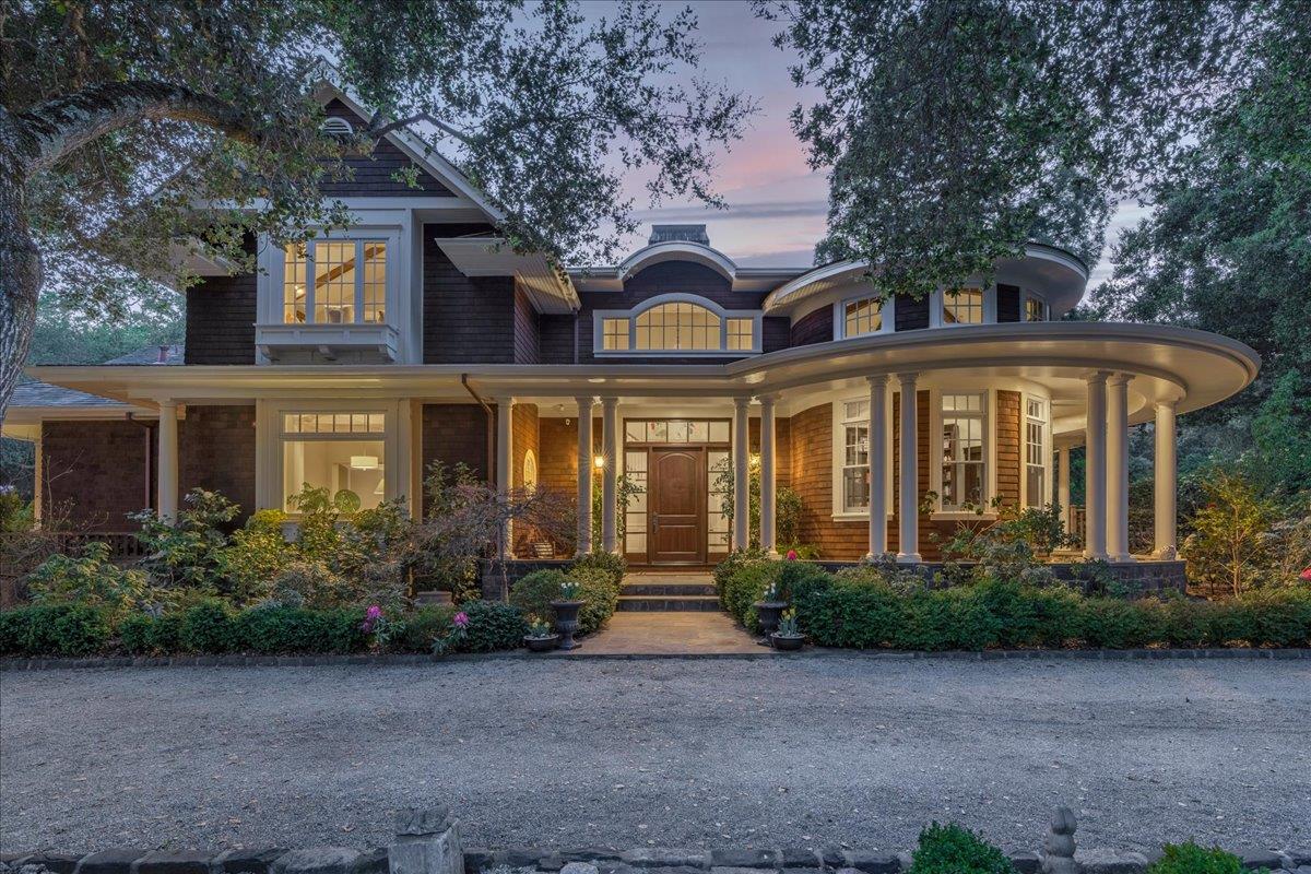
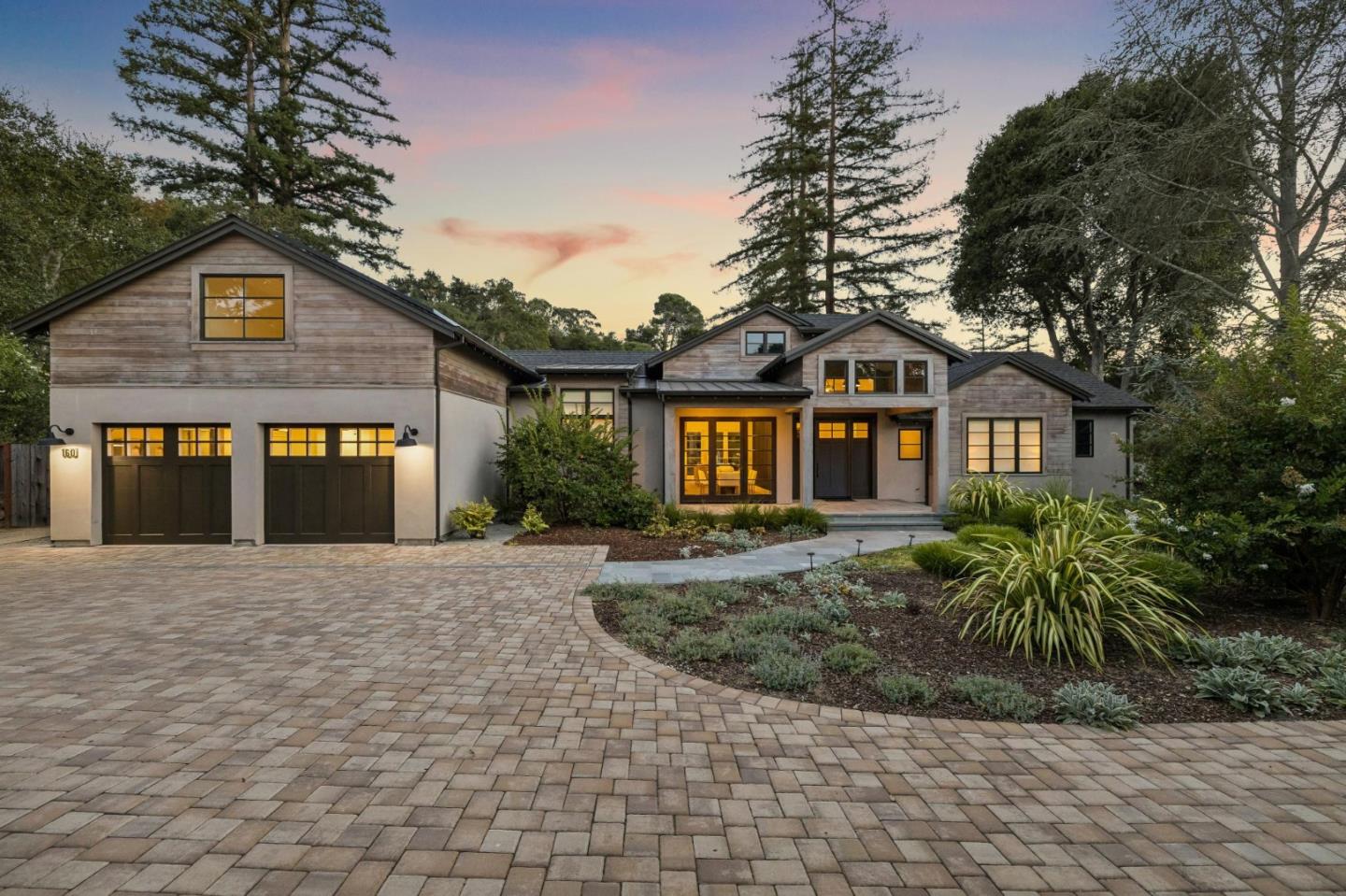
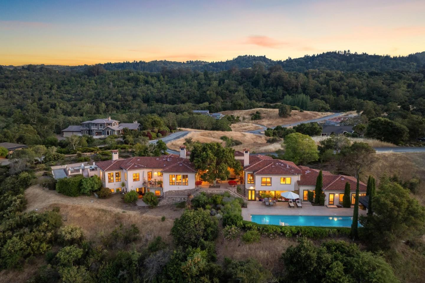
Westridge has generously scaled residential sites and roads responsive to foothill terrain. Homes are individually designed, with some properties retaining equestrian features or access to nearby paths. The experience is often one of landscape and privacy rather than close-set suburban blocks.
The significant real estate distinction is between a broad parcel and how it functions. A house set carefully among trees may offer more usable outdoor enjoyment than a more dramatic but poorly connected hillside plan.
Portola Valley Ranch provides a different model: a planned residential environment designed with attention to shared open areas and architectural relationship to the landscape. Its homes and common facilities differ from the individually built estates elsewhere in town.
Association rules, shared maintenance, access and the design of common space are important parts of the property experience. Two homes of similar interior size can offer different ownership responsibilities depending on their community structure.
Near Town Center, the library, playing fields, historic schoolhouse and civic offices create a shared gathering place. The convenience of these destinations gives nearby homes a different daily rhythm from the hillside properties farther away.
Portola Road also supports a small collection of markets and services. It is not a dense commercial district, but that small scale is part of the town's chosen character.
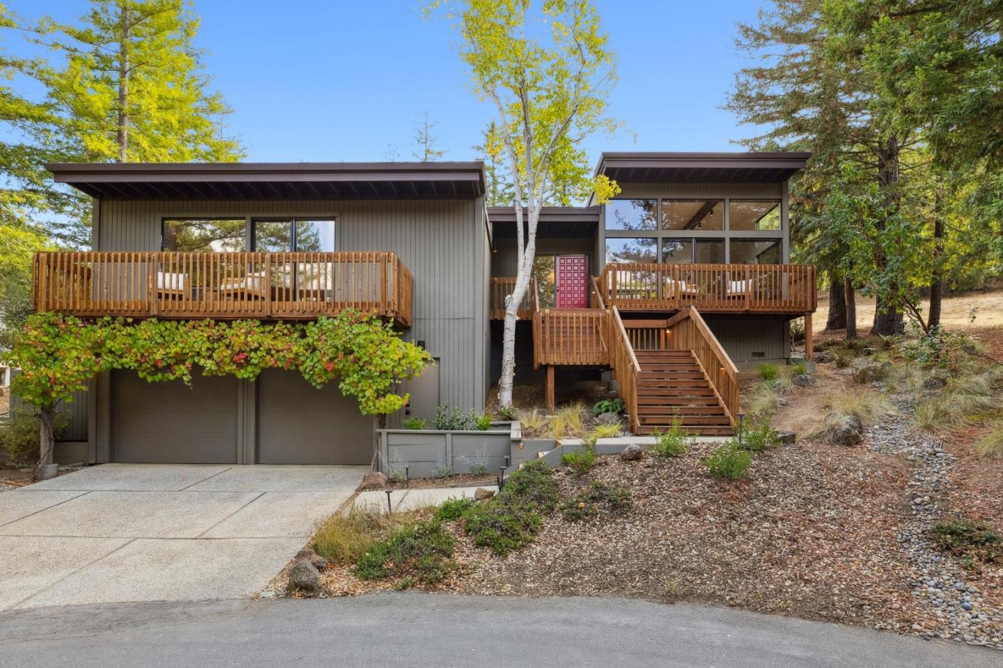
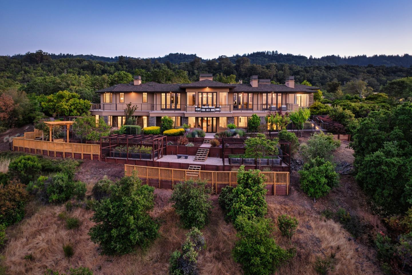
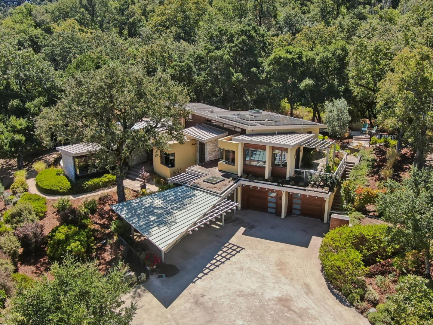
These areas demonstrate the practical realities of foothill topography. Narrower roads, tree cover and steep gradients can create a picturesque setting, while also changing access, drainage and the relationship between a house and its outdoor spaces.
A property on a steep slope requires a different architectural response from one on a broad valley floor. Good design includes engineering, circulation and landscape maintenance, not only attractive materials.
Ladera and Los Trancos Woods are often grouped into Portola Valley conversations because of their location and mailing identity. Some of these areas are unincorporated San Mateo County rather than part of the Town of Portola Valley.
That matters for permits, services, school boundaries and development requirements. A guide that treats them as interchangeable misses one of the most important practical distinctions locals learn over time.
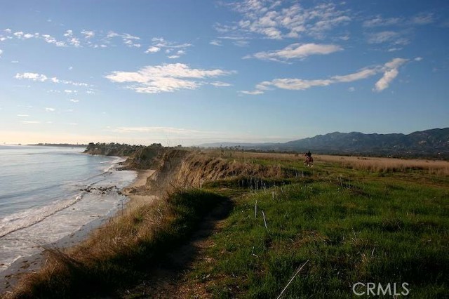
Windy Hill Open Space Preserve is more than a scenic backdrop. Local conservation history includes the preservation of land once considered for substantial housing development, demonstrating how residents and conservation organizations helped shape the landscape people enjoy now.
Alpine Road and Portola Road have long histories as connections toward the coast and the foothills. The town's pathways, parks, school grounds and open spaces make outdoor recreation possible in several forms, but trails vary in grade, authorized uses and seasonal conditions.
Portola Valley School District schools and nearby educational institutions contribute to the community, while high-school and particular school assignments require an address-level check. There is no rail station within town; residents connect through neighboring Peninsula cities. Interstate 280 is a major regional route, but final access depends on smaller roads and terrain.
Winter rain, summer dryness, wooded shade and hillside exposure affect home maintenance. Wildfire planning, emergency access, geologic assessment, drainage and insurance are relevant considerations, especially on wooded or steep sites.
Portola Valley's land has a compelling privacy and open-space story, but it is not a one-dimensional acreage market. The combination of permitted building area, physical site conditions, fault-related restrictions, access, sunlight and maintenance obligations may shape the usefulness and cost of a property.
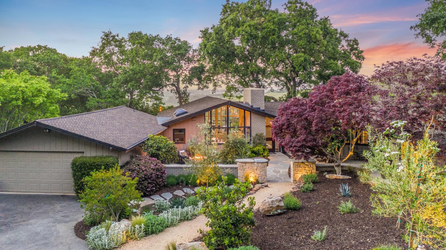
An elegant hillside home often succeeds by fitting within the terrain: controlling scale, keeping spaces connected, preserving trees where appropriate and making outdoor areas usable. For sellers, a transparent account of geotechnical reports, additions, drainage improvements and permits is a sign of professionalism, not a distraction from the home's beauty.
Market performance is never guaranteed, and expensive homes may have a narrower pool of comparable sales. Historical sales should be evaluated alongside the specific land and building rather than relying on a townwide average.
The town sits in the San Andreas Fault region and has a long history of geologic mapping and land-use review. Development requirements can vary by parcel, and an attractive wooded site may have distinct engineering constraints. Homeowners considering improvements should consult qualified professionals and current town records. Neither a general fault map nor a neighborhood label establishes a home's exact risk.
Some nearby communities use Portola Valley postal addresses or are associated with the town's broader planning area while lying in unincorporated San Mateo County. Ladera and Los Trancos Woods are important examples to check separately. That distinction can affect permits, planning rules, local services and school administration. Use the legal address and parcel map rather than relying on a commonly used geographic name.
Westridge is generally associated with individually designed larger residential sites within a hilly landscape, while Portola Valley Ranch has a planned-community structure and shared features. Architectural freedom, landscaping, common-property responsibilities and daily maintenance may differ considerably. Comparing the two requires understanding the actual home and its governance, not just proximity to the same open space.
A strong listing makes the site's conditions legible: access, trees, drainage, slope, outdoor uses, permit history, construction and geologic documentation. Good photographs matter, but so does a precise explanation of how the house works on its land. Wen Group's architecture-informed perspective can help explain this without suggesting that beautiful open space eliminates development or ownership constraints.
Portola Valley's strongest quality is its consistency of purpose. The rural atmosphere is sustained by community choices about open space, pathways, civic facilities and development. A house here is part of that larger landscape; learning how it meets the land is the key to understanding the town.
Browse the available properties in the area below.
Browse the available properties in the area below.