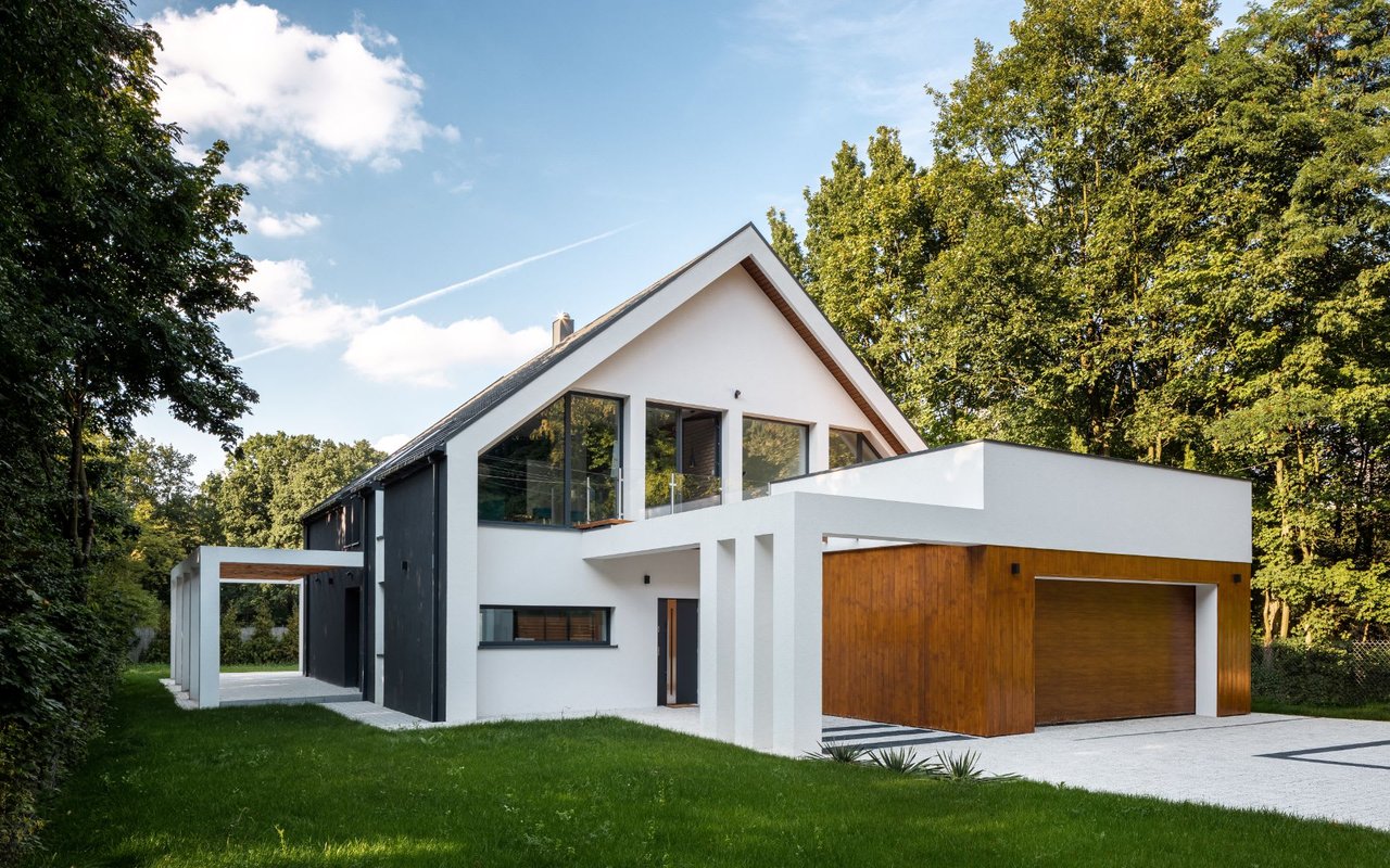
Menlo Park is often introduced through venture capital and Stanford, but locals know a much more varied city. Santa Cruz Avenue has a walkable downtown atmosphere; quiet residential streets near Allied Arts and Central Menlo create a garden-oriented setting; the neighborhoods east of Highway 101 connect to the Bayfront, employment centers, and a different civic history. Menlo Park is not one uniform high-price suburb.
A morning coffee downtown, a walk at Burgess Park, a stop near the Menlo Park Caltrain station, and an afternoon at Bedwell Bayfront Park describe radically different city settings. The routes among them—and the fact that Highway 101 cuts across the geography—are part of understanding where people actually live.
The town developed around the Peninsula railroad in the nineteenth century and incorporated in 1927. Its historic Menlo Park train station remains a reminder of the earlier community. The surrounding region's research institutions, Stanford proximity, and Sand Hill Road's venture-capital concentration helped give Menlo Park an international role in technology financing.
The innovation story now includes major employers and campuses closer to the Bayfront, including Meta. This economic geography matters, but it should not erase the established neighborhoods or the citywide differences in housing supply, local services, and transportation.
Names such as West Menlo Park, Menlo Oaks, and Stanford Weekend Acres can refer to unincorporated county areas with Menlo Park mailing addresses. They should not automatically be described as incorporated-city neighborhoods.
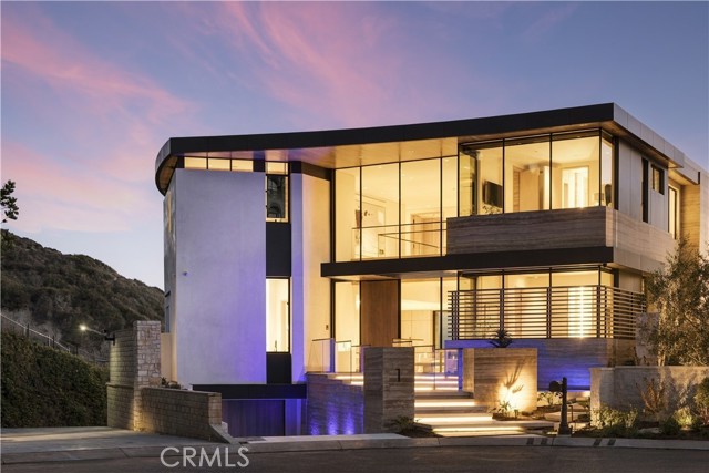
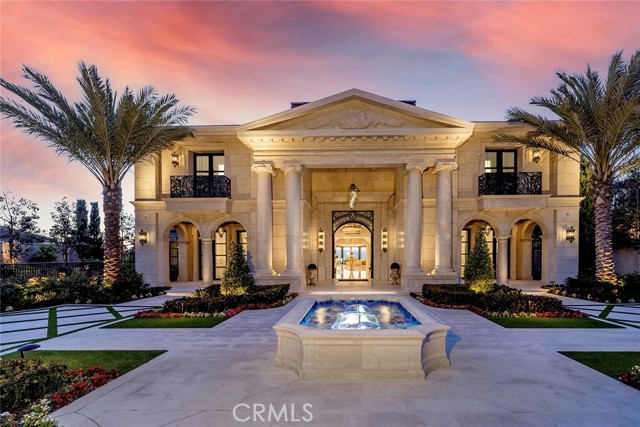
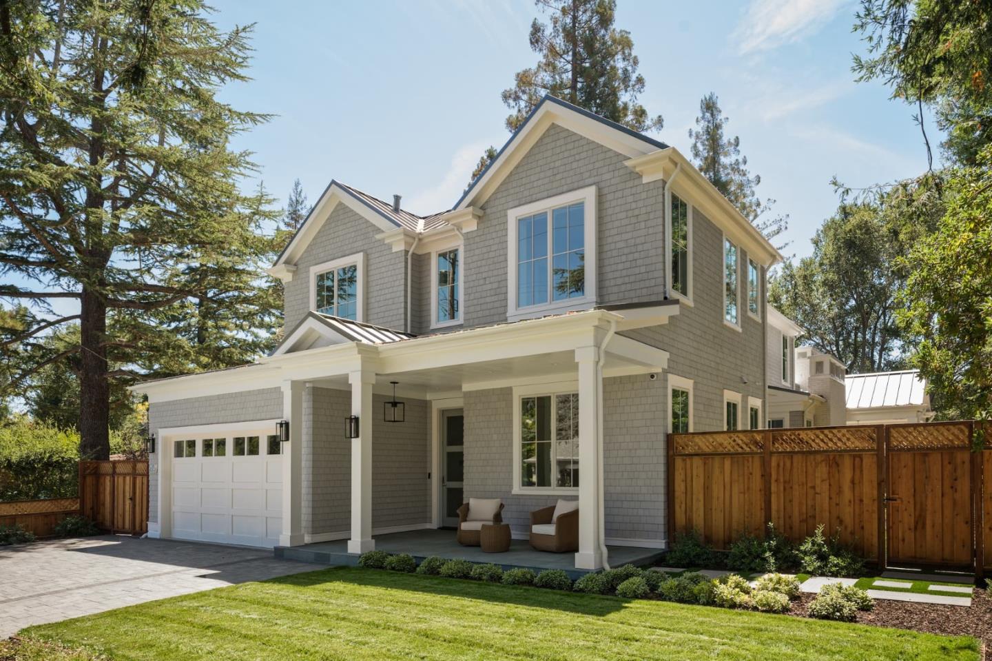
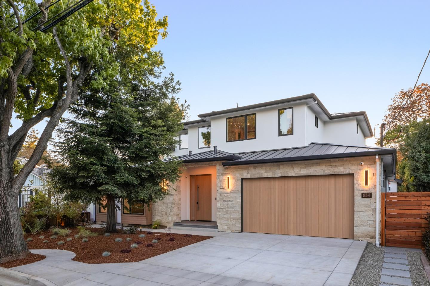
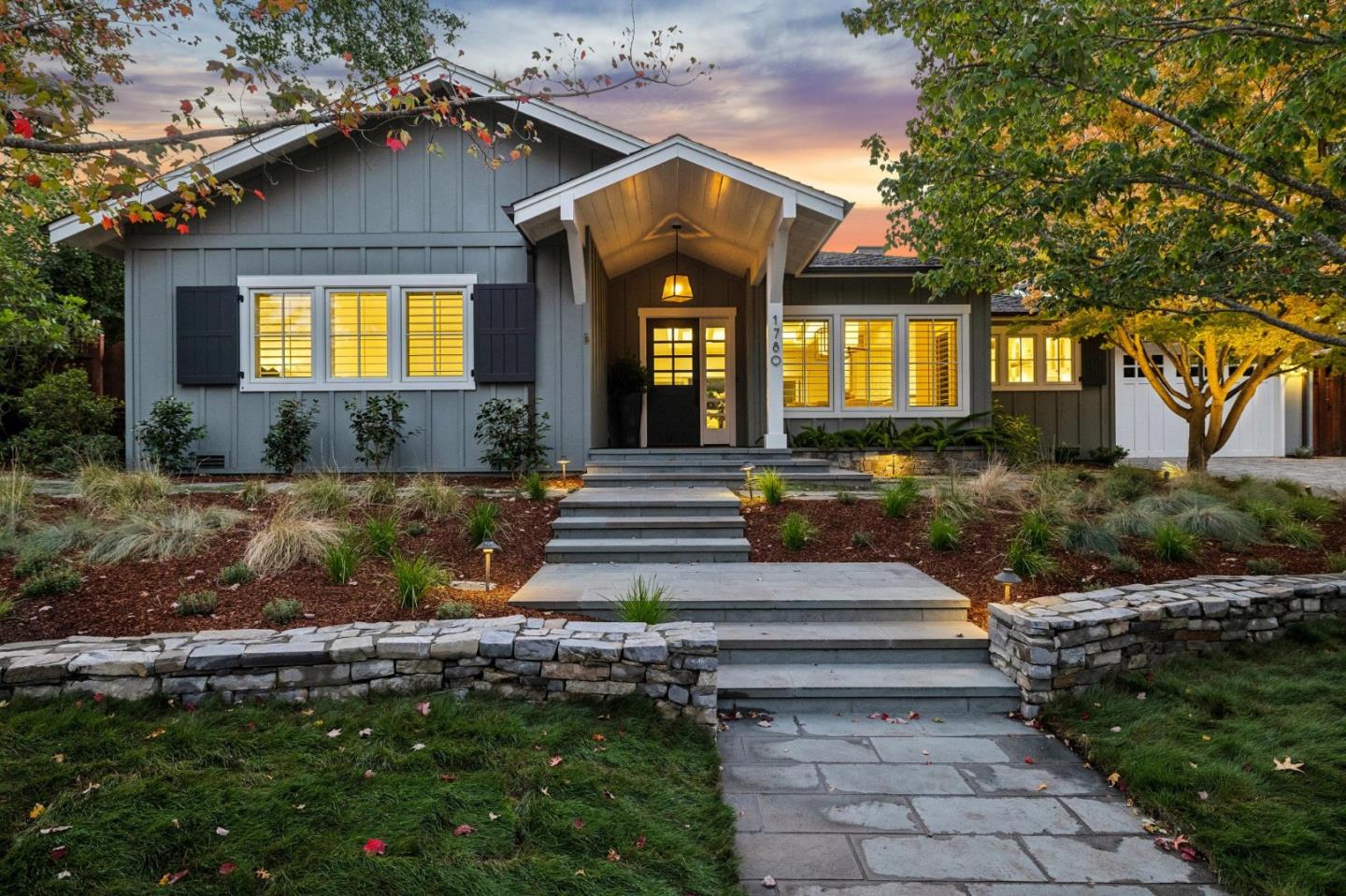
Santa Cruz Avenue and the downtown side streets bring cafés, restaurants, bookshops, specialty stores and outdoor dining into a pedestrian-scaled setting. Nearby Allied Arts has tree-shaded streets and traditional homes of various ages, including cottages, remodels, and substantial new residences.
The proximity to downtown and Stanford-oriented routes shapes the value of location. A smaller well-designed home may offer a convenient lifestyle that a larger but more remote property does not. Blocks near El Camino Real and the rail corridor can have different noise and circulation patterns.
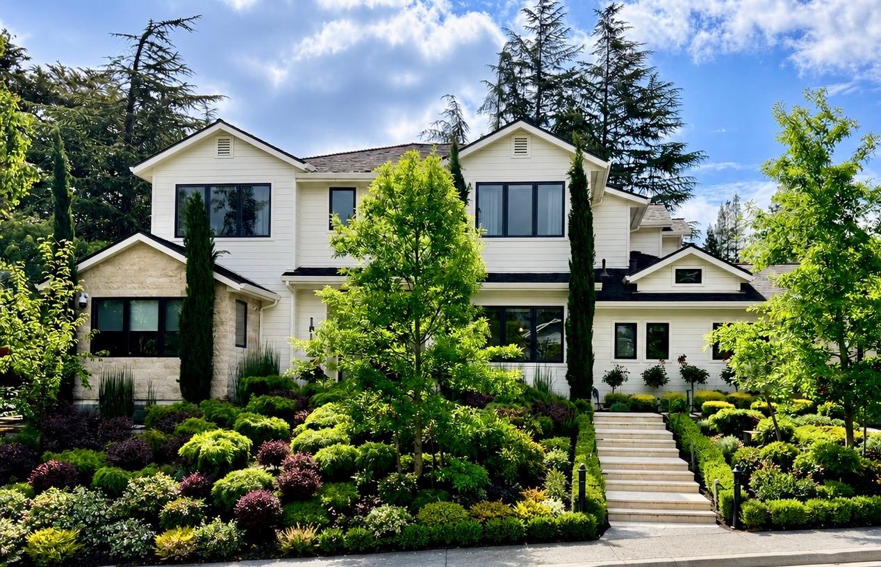
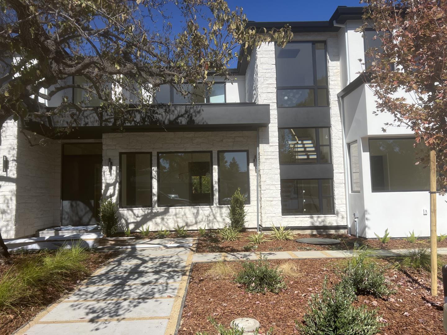
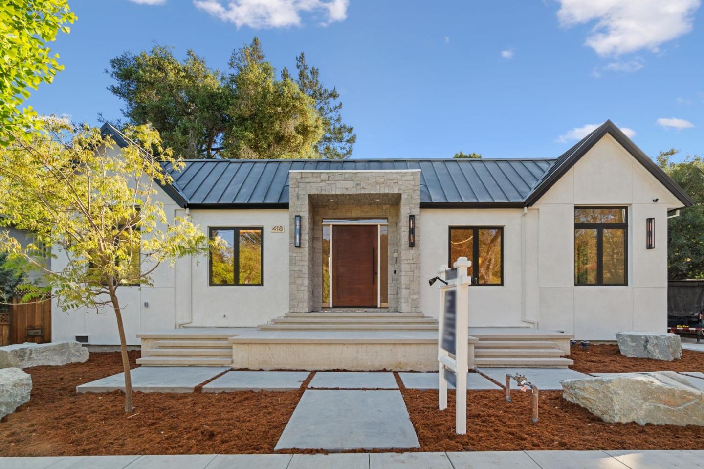
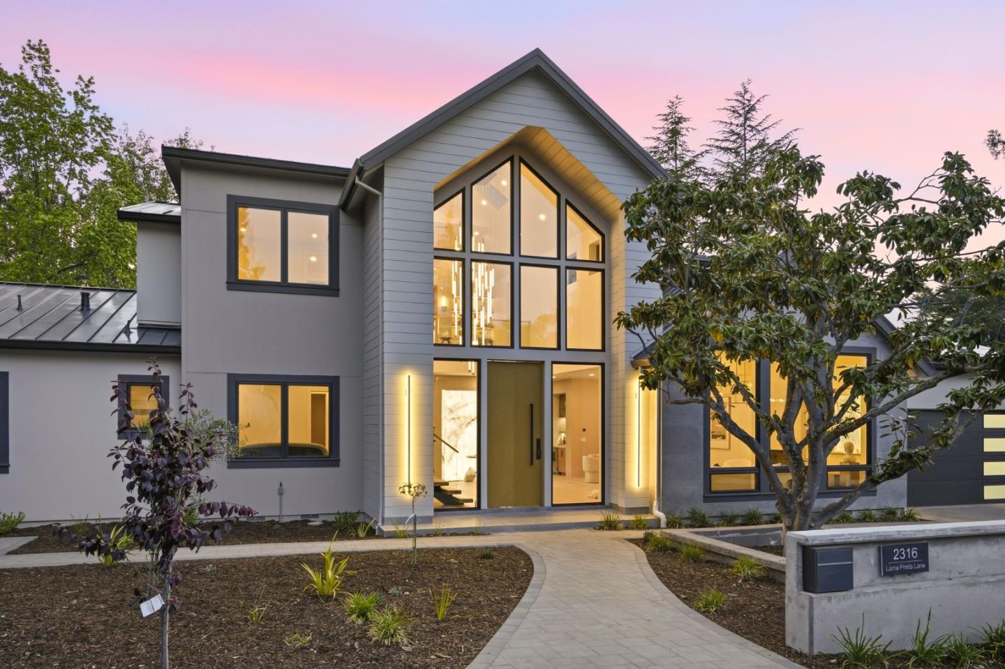
Central Menlo is known for traditional residential streets and a mix of earlier homes, ranch houses, and newer custom architecture. Landscaped lots, mature trees and proximity to schools and local commercial corridors give it a recognizable neighborhood atmosphere.
As buildings are remodeled, good design often balances additional floor area with retained privacy, daylight and garden space. The width of a street and the scale of neighboring houses can be as meaningful as the size of any individual residence.
Sharon Heights stretches into a landscape of changing grades closer to the western edge of the city and the Sand Hill Road corridor. Residential options include detached homes and selected attached communities, while Stanford Hills offers its own terrain and proximity to surrounding institutions.
House and lot types are not interchangeable. On sloping land, access, privacy, outdoor terraces and drainage can matter more than a citywide average. In attached communities, association rules and monthly obligations form part of the ownership experience.
Between downtown, Middlefield Road and the city center, these neighborhoods combine different housing vintages, street patterns and distances to the train station. Felton Gables carries a more intimate established feel, while Linfield Oaks includes homes and housing types connected to the nearby business and transit network.
Residents can enjoy relatively direct access to parks and downtown while still encountering major-road and rail crossings. A practical understanding requires looking at the specific block, not just the neighborhood label.
The Willows lies toward Menlo Park's eastern residential neighborhoods and is known for compact, lived-in streets with a variety of house ages. Suburban Park and Lorelei Manor reflect postwar suburban planning and a different parcel scale from some of the grander western areas.
These streets are connected to neighborhood parks, Willow Road, and the broader employment geography. Some houses have been updated in phases, making original floor plans, permitted additions, and the relationship to private gardens important topics for owners.
East of Highway 101, Belle Haven has a distinct social and residential history and strong neighborhood institutions. Its schools, parks, library, churches, and community facilities should be discussed on their own terms, not as an afterthought to western Menlo Park.
New and changing development near the Bayfront creates a different context from the traditional west-side subdivisions. The area is connected to employment, shoreline open space, and regional highways, but traffic, flood considerations, and individual street environments vary.
Downtown's Santa Cruz Avenue is a gathering place, while the city has additional commerce near Marsh Road and the Bayfront. Burgess Park and nearby recreation facilities are central destinations; Bedwell Bayfront Park provides open land and trails looking toward the Bay.
The city includes more than one school district depending on address, and high-school service follows separate boundaries. Menlo Park's recognized educational reputation should never be converted into a guarantee that a particular house belongs to a certain school. Confirm with the actual district tools.
Menlo Park Caltrain, El Camino Real, Highway 101, Sand Hill Road, and the Dumbarton Bridge connect different parts of the city in very different ways. Being near a station is not the same as having a pleasant walking route to it. The mild Peninsula climate makes gardens and outdoor activities practical through much of the year, but Bayfront wind and the western residential tree canopy create different microclimates.
Menlo Park's real estate market is a collection of submarkets, not one figure. Stanford and venture-capital proximity can support interest in certain streets; the Bayfront and eastern neighborhoods have different housing stocks and price dynamics. For owners and sellers, usable land, architectural condition, local convenience and current comparable sales matter far more than generalized descriptions such as 'close to Silicon Valley.'
Home values can change with technology-sector employment, financing, supply and the particular homes selling that season. No citywide trend implies guaranteed appreciation. A credible explanation starts with which neighborhood and property type one is actually discussing.
Menlo Park contains Stanford-adjacent streets, a walkable historic downtown, Sharon Heights, eastern neighborhoods, Bayfront employment and varied attached housing. These areas have different lot sizes, building periods, transport routes and local facilities. A single citywide median can combine fundamentally different properties and should not be treated as a valuation for an individual home.
Parts of nearby communities known as Menlo Oaks and West Menlo Park are unincorporated San Mateo County despite Menlo Park mailing identities. That can affect the governing building authority, services and related property questions. Confirm the actual municipal and parcel location before assuming a property follows city rules.
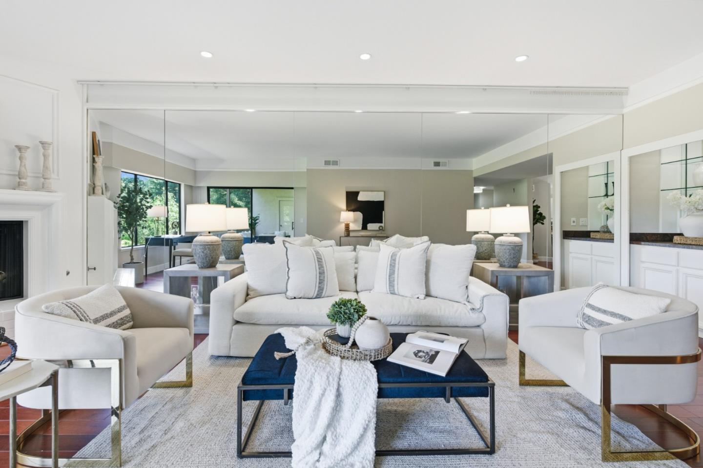
Downtown and Allied Arts offer proximity to Santa Cruz Avenue, restaurants, local shopping, and Caltrain-oriented routes; Sharon Heights has a different residential setting closer to western terrain and Sand Hill Road. Both may have excellent homes, but the everyday experience of walking to a café versus driving from a quieter hillside street is different. Preferences for layout, privacy and commute are equally important.
The answer depends on the property's specific market: historic streets and garden homes, contemporary construction, attached housing, or a unique hillside site. Documented renovation quality, location, school-district verification, usable land and the correct comparison group matter. Wen Group can use an architecture-informed narrative to clarify those qualities without making unsupported promises about price or appreciation.
Menlo Park's identity is the combination of a historic train town, an everyday village center, research and finance institutions, Bayfront workplaces, and neighborhoods that belong to different eras. It is precisely this variety that makes a resident's account of Menlo Park richer than a single luxury label.
Browse the available properties in the area below.
Browse the available properties in the area below.