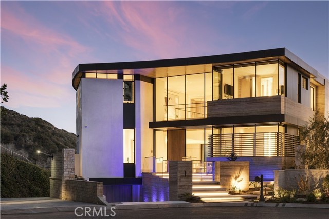
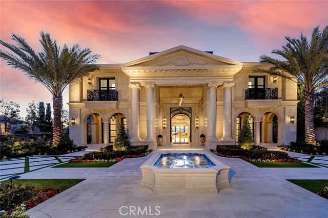
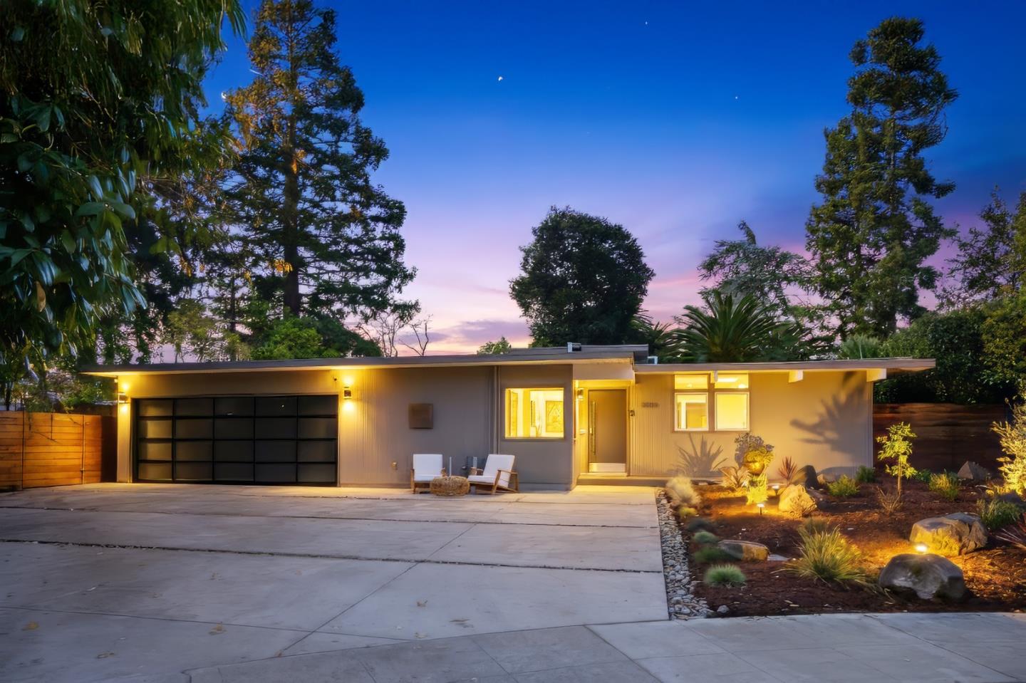
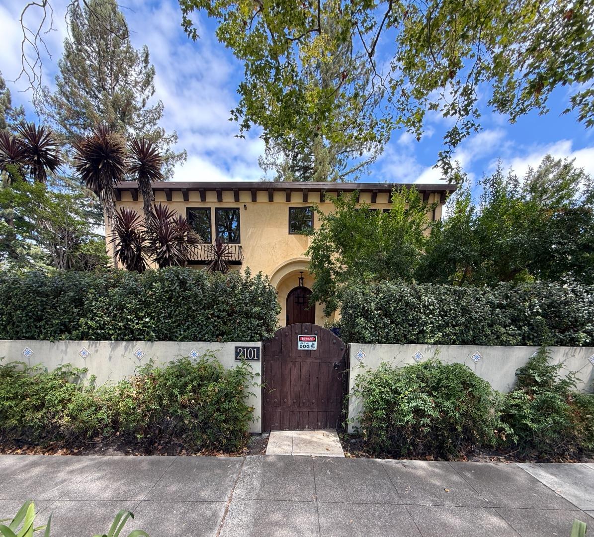
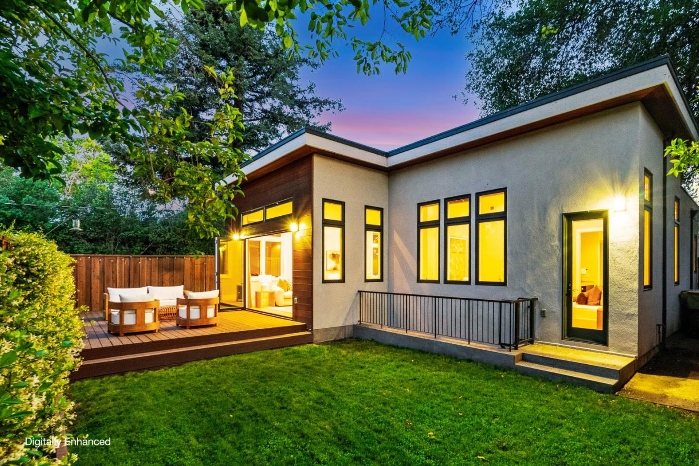
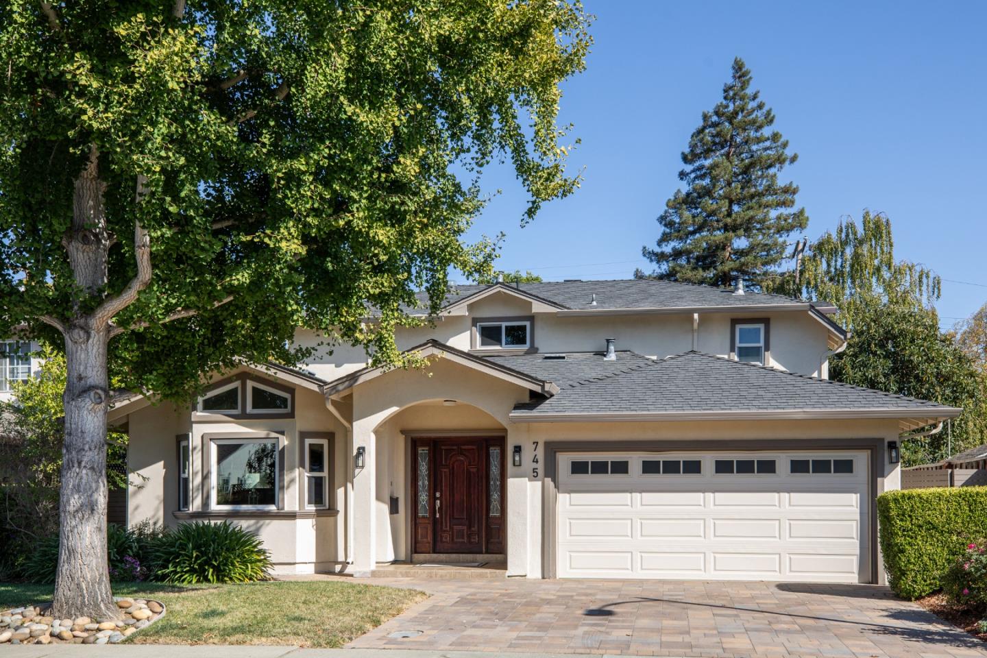
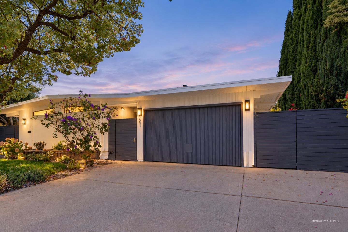
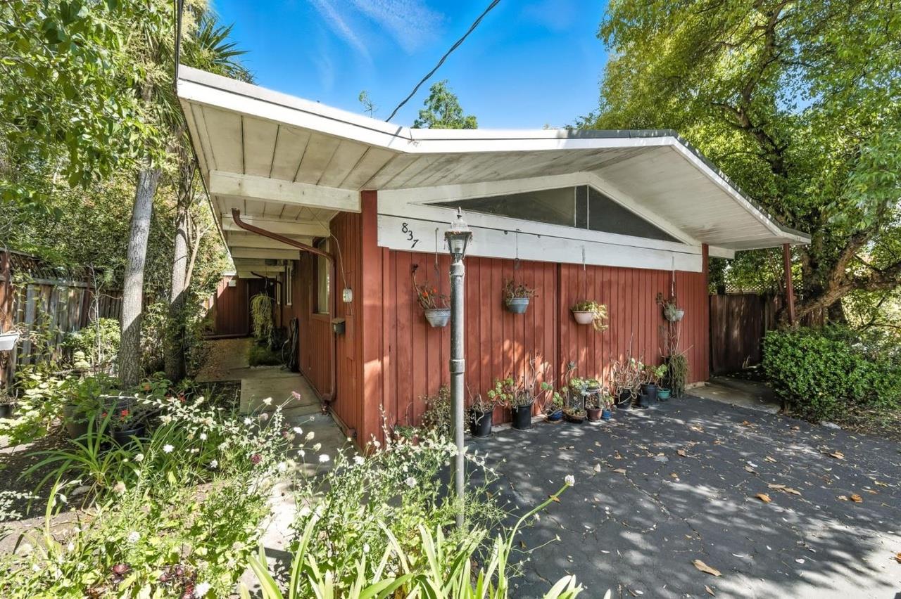
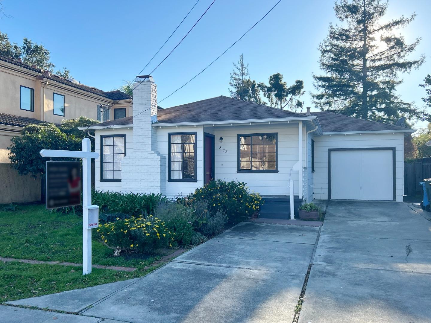
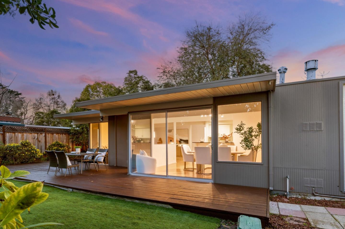
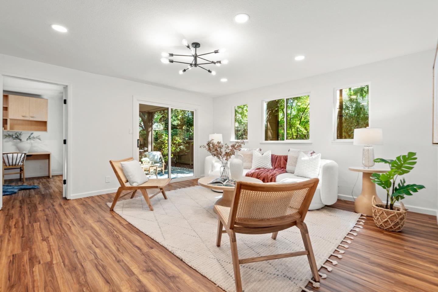
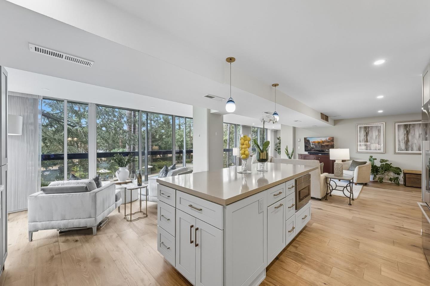
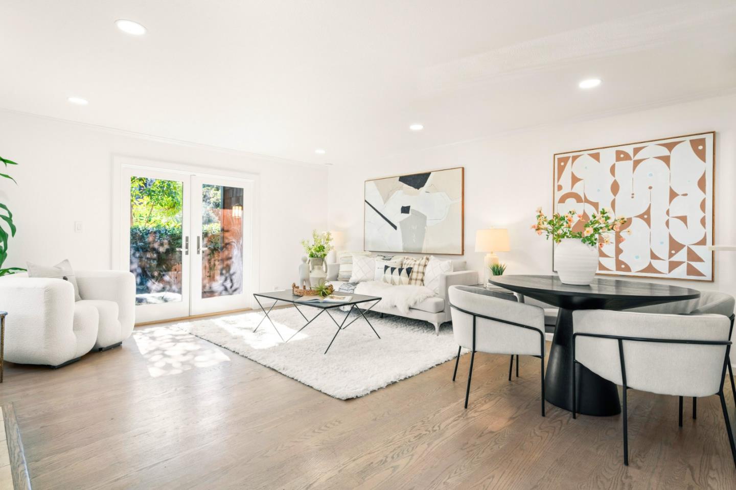
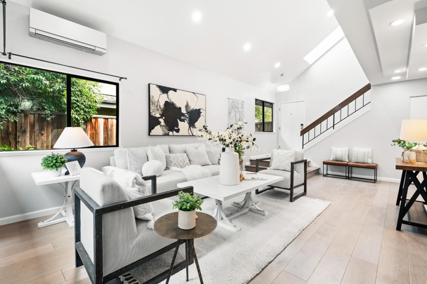
A home in Palo Alto can mean a shingled house near downtown, a glass-walled Eichler opening onto a garden, a newly built residence on an established street, or a hillside property with a very different relationship to the rest of the city. Its appeal brings together education, technology and research employment, residential architecture, and a network of everyday destinations. Together, these elements shape many different ways of living in the city.
Daily life often connects a home to the places residents use most: work, school or childcare, a train station, neighborhood parks, and a favorite shopping district. The relationship changes by street and household. A citywide median price or a well-known ZIP code cannot capture how a home's layout, access, land, and long-term flexibility affect life there.
Much of northern Palo Alto grew around University Park, for which Timothy Hopkins purchased land in 1887. The subdivision map was recorded in 1889, and Palo Alto incorporated in 1894. Professorville and the neighborhoods around downtown retain visible connections to that early period, including homes associated with Stanford's first generations of faculty. Later development added other architectural layers, from revival styles to modern replacements.
The story is not simply that development started in the north and moved steadily south. Mayfield, centered around today's California Avenue, was already a settlement in the 1850s, before Palo Alto existed. It became part of Palo Alto in 1925. California Avenue occupies the former commercial center of Mayfield, giving Palo Alto two distinct historic shopping districts.
Postwar growth shaped much of central and southern Palo Alto, bringing ranch houses and Eichler developments. The city's inventory dates Fairmeadow to the early 1950s and the first Greenmeadow tracts to 1954–55. Green Gables, developed in 1950–51, is an important northern exception to the idea that mid-century housing belongs only in the south.
The remaining unincorporated core of Barron Park joined Palo Alto on December 8, 1975, but it was not a newly built neighborhood then. Residential subdivision began in the 1920s on land with nineteenth-century estate roots. Its later annexation and semi-rural street pattern help explain why it feels different from the more regular grids elsewhere. This development history matters because it explains differences in architecture, street layout, and the character of everyday life—not merely dates on a timeline.
Old Palo Alto and Crescent Park are important reference points at the higher end of the detached-home market. Their housing includes substantial residences, established landscaping, varied architectural styles, and newer replacements. They are also among Palo Alto's higher-priced detached-home areas. Even within these neighborhoods, homes differ in usable lot area, size, condition, street position, and design. A neighborhood name alone never tells the whole story.
Professorville puts architectural history at the center of its streetscape. Wood shingles, porches, and Colonial Revival and Craftsman examples contribute to its recognizable streetscape. Its traditional materials and proportions create a different atmosphere from newly built homes with contemporary floor plans. For homeowners considering changes, historic designation, prior alterations, maintenance needs, and applicable review requirements all deserve attention.
Downtown North and University South offer a closer relationship to University Avenue's restaurants, shops, and Palo Alto station. Housing types and building scales vary, so this is not exclusively a large-house market. For residents who enjoy walking to daily destinations, a smaller home can be a welcome trade-off. Parking arrangements, commercial activity, and proximity to major roads or the rail corridor differ from block to block. Real estate reporting labels such as “Downtown Palo Alto” cover a broader area and do not fully describe every street in these neighborhoods.
Community Center is distinguished by its proximity to Rinconada-area civic amenities. The park, pool, libraries, arts facilities, and nearby Junior Museum and Zoo create several destinations in one part of town. Houses vary in age and design, and the area's sales can command substantial prices even when the homes are smaller than those selling in Old Palo Alto. The experience of walking to those destinations still depends on specific routes, intersections, and the block where one lives.
Green Gables and Duveneck–St. Francis have distinct identities within the broader label “north Palo Alto.” The Green Gables historic Eichler tract brings mid-century architecture into the northern part of the city. Broader neighborhood and MLS boundaries do not necessarily coincide with that tract. Where Eichler design is present, its indoor-outdoor relationships and construction details are part of the architectural story. The broader reporting area includes homes of other types, and individual changes over time deserve attention.
Midtown and South Palo Alto, including areas such as Fairmeadow, Greenmeadow, and Palo Verde, offer a different mix of postwar houses, remodeled homes, and replacement construction. Ranch layouts and Eichler architecture are part of this landscape. Midtown's commercial center and southern parks and libraries can make everyday errands and activities quite local. Home sizes, design, condition, and lot characteristics vary considerably, so sweeping comparisons with northern neighborhoods can obscure what makes each block distinct.
Barron Park and Green Acres warrant individual exploration rather than being folded into a generic southern category. Barron Park has a more informal street pattern, Bol Park and its bike path, and many streets without conventional sidewalks. Housing includes older houses, extensively updated properties, and newer infill. Green Acres is a separate market-reporting area with a small sales sample, making its median particularly sensitive to which homes happen to sell. In both areas, each parcel's access, drainage, and walking routes shape everyday experience alongside the house.
College Terrace and the California Avenue surroundings provide another way to relate to Stanford and the California Avenue district. Distances to the campus, Research Park, shops, and station vary by address. That practical geography and the mix of housing styles help define how life feels on each street. The MLS label “College” is a reporting category and should not be treated as interchangeable with every informal neighborhood name around California Avenue.
Ventura combines residential streets with other land uses and a changing development context. It had one of the lower detached-home medians in the available records, but only a small number of sales. The North Ventura plan creates a framework for additional housing and mixed uses; that is not a promise that every proposed building or amenity is finished or will arrive on a particular schedule. The existing streetscape and the city's evolving plans both contribute to Ventura's changing character.
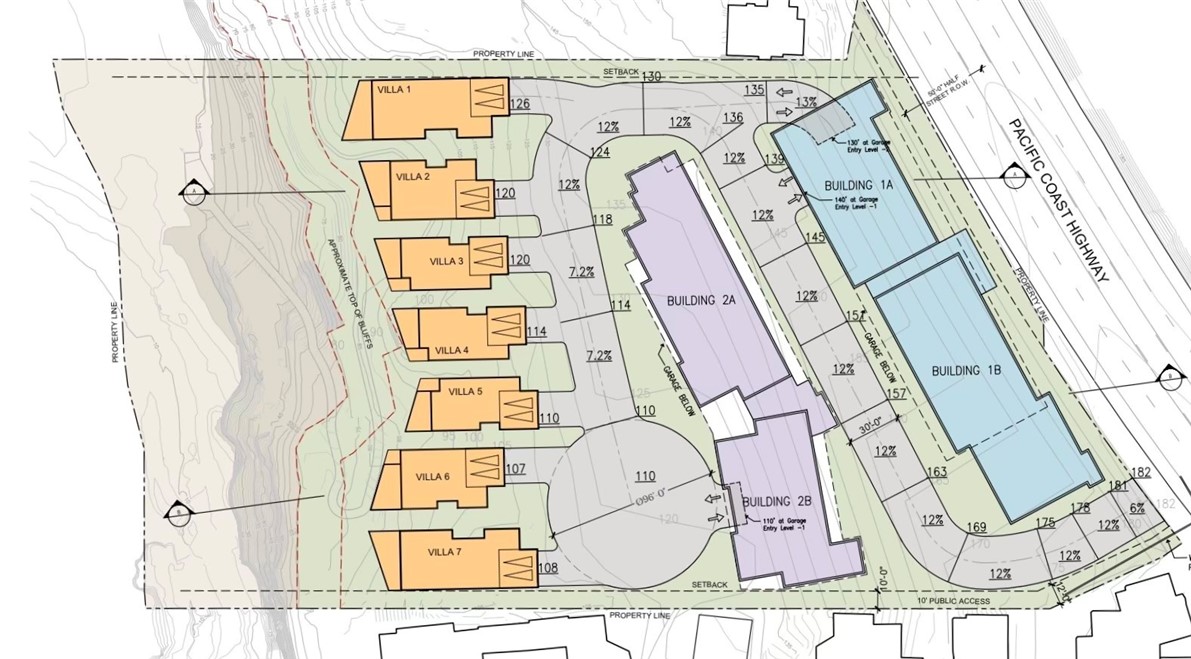
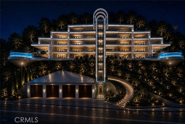
Palo Alto Hills is a distinct hillside market. Its terrain and custom properties differ sharply from the flatland neighborhoods. Here, usable outdoor space, slope, access, drainage, and property-specific conditions can shape how a home functions. A larger hillside parcel provides a different daily experience from a home near shops or a train station.
Palo Alto occupies a distinctive position in Silicon Valley real estate because its residential neighborhoods sit beside a globally recognized center of research, entrepreneurship, and venture capital. Stanford's influence, the city's longstanding technology history, and access to a wider innovation economy all contribute to the attention Palo Alto receives from people whose careers and capital extend far beyond the local area. That international recognition is a real part of the city's identity, although it should not be mistaken for a promise of future price appreciation.
The supply side matters as much as the reputation. Much of Palo Alto consists of established residential streets where new detached-home inventory generally comes from individual resales or replacements rather than large new subdivisions. In sought-after locations, a property's proximity to Stanford, downtown, schools, parks, and key work destinations can become especially important because similar opportunities are limited. Some households prioritize a walkable address and daily convenience over a larger parcel, while others seek substantial grounds and architectural privacy in Old Palo Alto, Crescent Park, or hillside settings.
Unlike a simple comparison of lot sizes, the value of a Palo Alto residence often reflects a combination of address, finished living space, architectural execution, useful outdoor areas, and the way an established neighborhood functions. On compact lots, a thoughtful floor plan, natural light, privacy, and efficient use of the site can create a level of quality that raw square footage cannot capture. The preservation of a recognizable streetscape—or the introduction of a carefully designed modern home—is part of that story.
Palo Alto attracts people who view a home as both a place to live and a substantial long-term asset. But even a world-famous address is not a risk-free store of wealth. Interest rates, technology-sector compensation and liquidity, inventory, property taxes, maintenance, regulations, and the price paid can all affect eventual returns. For existing owners, the enduring lesson is to understand which qualities are difficult to reproduce; for anyone comparing the city with nearby Los Altos, the question is often whether a more urban Stanford-connected setting or a broader garden-oriented residential environment better fits the life they want.
There is evidence for a higher total-price market in Old Palo Alto and Crescent Park, but “north costs more” is too broad to describe the city or its varied housing. Northern Palo Alto also includes smaller homes and attached housing near downtown. Southern neighborhoods include newly built and extensively renovated homes that can sell above older northern properties. ZIP codes, school boundaries, and neighborhood boundaries describe different things.
Differences in median sale price reflect more than location. A market with more large houses and substantial lots will not be directly comparable to one with smaller homes. Even price per square foot needs context because lot value, house size, condition, and design affect that measure.
For owners, prospective sellers, and anyone seeking to understand home values, recent closed sales of genuinely comparable properties offer more useful context than broad averages. Detached houses, townhomes, and condominiums follow different market patterns, while house condition and potential improvements affect individual property value. Neighborhood averages are not a substitute for a property-specific assessment or a prediction of future appreciation.
Newer infill can be found in southern and central Palo Alto, including South Palo Alto, Midtown, and Barron Park. It also exists in Old Palo Alto, Crescent Park, and Community Center. The distinction is often between individual houses on established streets, not between an entirely new southern city and an entirely old northern one.
A newer home may offer a floor plan, systems, and energy features that reduce the need for immediate work, but verify those features in the actual property. Compare bedroom placement, daylight, usable outdoor space, storage, and the relationship between the house and any accessory dwelling unit. Check permits and completion records. A listing's reported age does not establish the scope or quality of construction, and major work on an older house calls for separate attention to zoning, trees, historic status, setbacks, and cost.
Education shapes many families' routines in Palo Alto. PAUSD publishes school accountability reports and links to information on state assessments, attendance, graduation, and school climate. Those resources sit alongside programs, student support, and individual children's needs; no single ranking describes an entire school experience.
For any specific address, school assignment should be confirmed through PAUSD's School Finder and the district. The neighborhood elementary school is not an unconditional promise: PAUSD explains that students may be placed at another school in their cluster when capacity is full, and transitional kindergarten has a separate placement process. Also review current programs, student support, and the needs of your child rather than choosing by a single ranking.
The practical side extends beyond the school day. After-school care is separately operated and does not automatically come with enrollment. Work out the route to school, childcare, activities, and home. Rinconada's recreation facilities and the Children's Library, the Mitchell Park area, local playgrounds, and community programs provide tangible options for everyday life. A comfortable route to the places you use repeatedly may matter more than being nominally close to everything.
Much of Palo Alto's developed residential area is relatively flat, which makes cycling a realistic option for many local trips. Bryant Street's bicycle boulevard and other city routes help connect destinations. The western foothills are an exception, and a short distance on a map does not guarantee an easy ride. Major-road crossings, intersections, and approaches to schools or stations often matter more in practice than map distance alone.
Palo Alto and California Avenue stations provide Caltrain access along the Peninsula. Their stopping patterns differ, so compare the service you would use at your normal travel times. Highway 101, Interstate 280, and the connecting east-west roads serve different parts of the city. The full trip between home and work—including the first and last connections—offers a more meaningful picture than any citywide commute estimate.
Palo Alto's relationship with innovation has a documented history, from Hewlett and Packard's local beginnings to Stanford Research Park's first ground lease in 1951. The Research Park remains an employment center for technology, research, and medicine. Stanford identifies HP's continuing operations and Stanford Medicine's presence; the park operator also identifies Tesla's engineering headquarters and Rivian facilities.
In daily life, actual proximity to a workplace matters more than a broad Silicon Valley reputation. The relevant distance depends on the particular campus or office and how often someone travels there. Stanford's core academic campus lies beside Palo Alto in unincorporated Santa Clara County; Stanford-owned land also extends into Palo Alto and other jurisdictions. Other major technology campuses are in neighboring cities. The area's entrepreneurial history is part of its character, but it does not guarantee access to founders or establish who lives on a particular street.
Palo Alto's Mediterranean pattern of drier summers and wetter winters supports much of the outdoor life associated with the city: cycling, parks, garden spaces, and outdoor dining. Conditions vary between the developed lowlands and the western foothills, so “Palo Alto weather” is not identical at every address.
The Baylands offers a landscape of marshes and trails, while the city's foothill preserves provide a different outdoor setting. University Avenue and California Avenue offer distinct dining and shopping environments, including car-free portions of California Avenue and Ramona Street. At home, sun exposure, shade, ventilation, heating and cooling, and drainage all influence how indoor and outdoor spaces feel across seasons.
Palo Alto is not defined by a single housing style or way of life. Its historic streets near downtown, Eichler neighborhoods, family-oriented parks, Stanford connections, and quieter hillside settings create distinct daily experiences within one city. For long-time residents, homeownership brings opportunities to care for—and adapt—homes with many architectural histories. For newcomers, learning the streets and local routines reveals how much the city changes from one neighborhood to the next. In every case, the details of a home, its landscape, and its setting make the larger Palo Alto story personal.
Browse the available properties in the area below.
Browse the available properties in the area below.