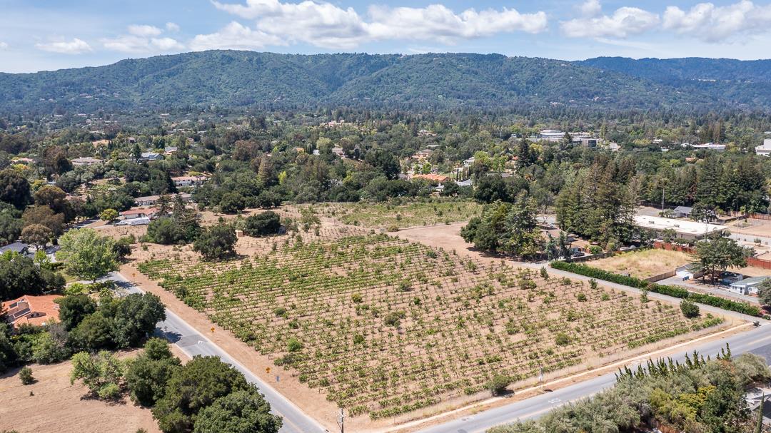
Saratoga sits where the developed floor of Silicon Valley meets the rising Santa Cruz Mountains. To the east, many residential streets are relatively level, lined by mature trees and homes built during the Peninsula and South Bay's postwar expansion. To the west, the landscape grows more wooded, roads become winding, and the site of a home—its slope, orientation, gardens, and natural surroundings—plays a larger role in everyday life. Between them lies Saratoga Village, a historic commercial center that gives the city a human-scaled place to gather.
The rhythm of Saratoga is more residential than the office districts of Silicon Valley. People move among neighborhood parks, schools, the library, local cafés, and the open spaces at the edge of the hills. A Saturday may start at the farmers' market at West Valley College, continue with a walk beneath the trees at Montalvo, and end at a restaurant along Big Basin Way. A different household may spend the afternoon tending a large garden or following a familiar walking route through a quiet neighborhood. These are different daily experiences within the same city.
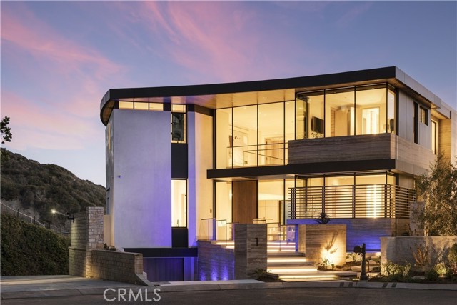
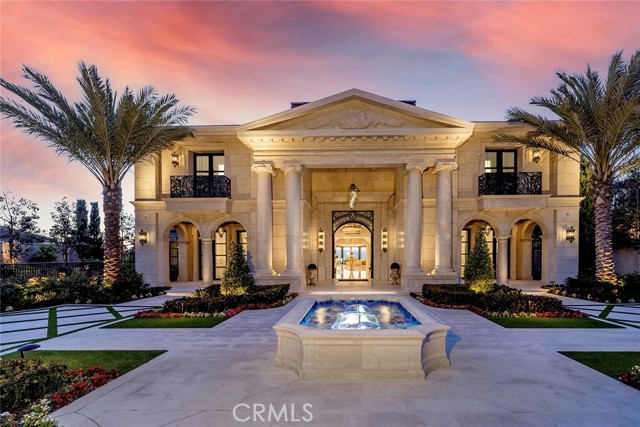
One reason Saratoga cannot be reduced to a simple real estate stereotype is that it includes homes of many scales and eras. Historic cottages and traditional houses near the Village, single-story ranch homes on settled streets, pockets of mid-century modern design, and highly individualized hillside houses all belong to its architectural landscape. The quality of life associated with any one address depends not only on the house itself, but also on the surrounding trees, sun, local services, and the relationship between open space and built form.
Saratoga's story began long before incorporation. The area's Indigenous Muwekma Ohlone history is part of the landscape around Saratoga Creek. In 1848, William Campbell established a sawmill along the creek, and the community that developed around early industry had several names, including Tollgate, McCartysville, and Bank Mills. Roads into the mountains carried lumber and connected the settlement with a landscape that would remain important to its identity.
Mineral springs discovered in the nineteenth century changed the community's direction. Their resemblance to springs in Saratoga Springs, New York, inspired the town's official name in 1865. The Pacific Congress Springs resort became a destination for visitors seeking an escape from city life. Later, fruit orchards and vineyards replaced much of the earlier industrial economy. Apricots, cherries, prunes, and grapes were not decorative backdrops: agriculture was central to the area's livelihood, and its physical legacy can still be seen in preserved orchard land and place names.
The early twentieth century brought country estates and cultural institutions. Villa Montalvo was built in 1912 as the home of James Duval Phelan and eventually became an arts center. Hakone was established as a Japanese-inspired private summer retreat beginning in 1915 and later became a public garden. Winemaker Paul Masson's hillside property helped establish another chapter of Saratoga's identity, and its historic winery is now also known as a concert venue. Saratoga incorporated in 1956, as agricultural land was increasingly subdivided for homes after World War II.
The transition from sawmill settlement to resort, orchard town, and residential community explains why Saratoga's landscape is unusually layered. In a single day it is possible to encounter an old village storefront, the remains of an agricultural tradition, a preserved country estate, a modern school campus, and a hillside residence oriented toward nature. Those places are connected by history, not simply by an appealing postal address.
Saratoga has no single housing pattern. The names below include familiar local and real estate neighborhood labels; some are informal and may differ from official planning boundaries. In particular, “Golden Triangle” is a commonly used market nickname rather than a separate city designation. Even within one area, street width, parcel shape, age of construction, school district, and proximity to hills or busy roads can change considerably. The best way to understand Saratoga's neighborhoods is to consider their individual architecture and everyday geography.
The Village is Saratoga's original heart, centered on Big Basin Way. Unlike a large shopping mall or a modern downtown of towers, its identity comes from older storefronts, restaurants, galleries, garden settings, small plazas, and historic landmarks. The Saratoga History Museum, Blaney Plaza, and the nearby Saratoga Foothill Club connect today's street life with earlier generations of community activity.
Homes in the broader Village surroundings differ from the more uniform postwar tracts elsewhere. The residential fabric includes older cottages and houses, traditional architecture, later replacements, and smaller-scale attached housing near selected corridors. Sidewalks, street trees, creek crossings, and the ability to reach a favorite café or park are part of the appeal of living close to the center. The exact experience still changes sharply as roads climb west or move away from Big Basin Way.
For existing property owners, the historic context matters in a practical architectural sense. A modest house with an established garden may contribute as much to a street's character as a larger new residence. Saratoga adopted new Village Design Standards in April 2026, reflecting an ongoing effort to accommodate change while defining measurable standards for development. Applicable zoning and historic status depend on the specific property and proposed work.
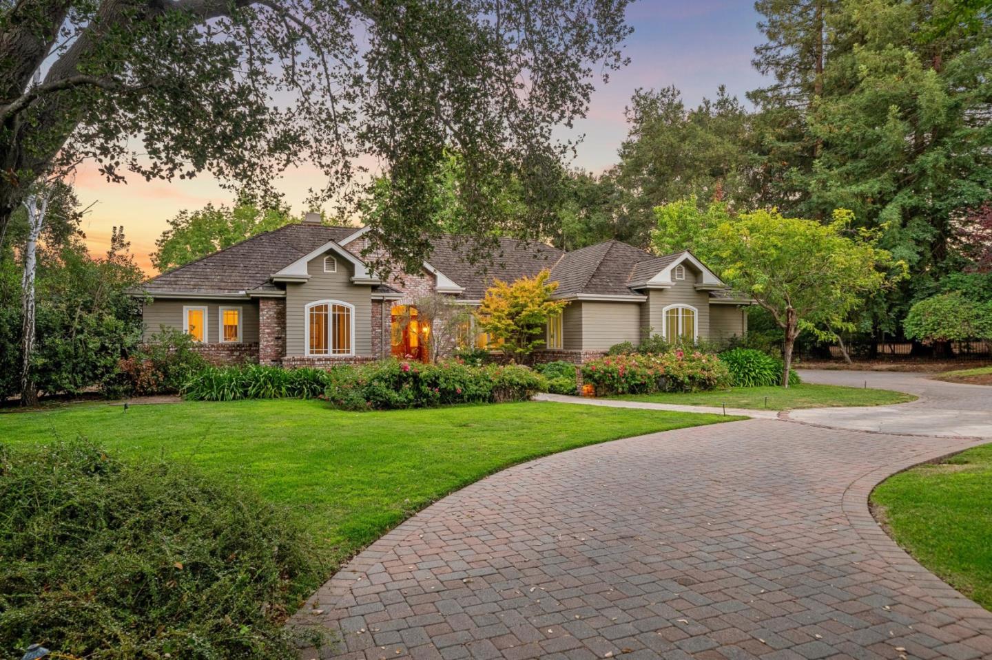
The Golden Triangle is a familiar name for the largely residential area shaped by Saratoga Avenue, Saratoga–Sunnyvale Road, and Cox Avenue. Its identity is associated with postwar ranch homes, mature landscaping, and many relatively level residential streets. Wide front gardens, single-level floor plans, and private rear yards make the built environment feel quite different from the winding mountain roads west of the Village.
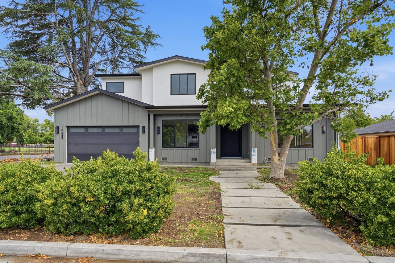
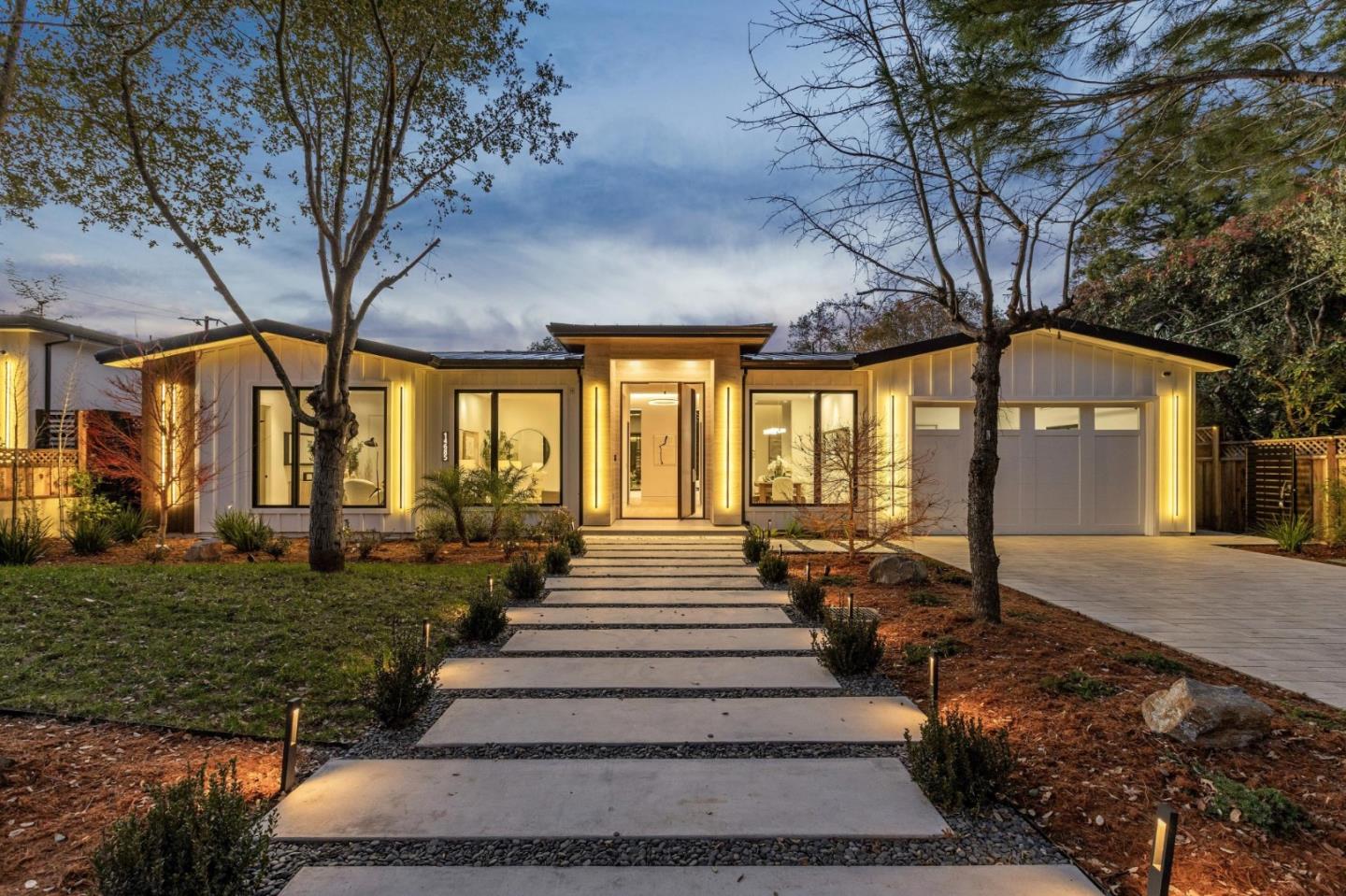
Over time, some original ranch houses have been remodeled or replaced with larger custom residences. That creates an interesting architectural conversation between the modest horizontal proportions of mid-century housing and newer two-story or more elaborate designs. Lot dimensions, mature trees, backyard usability, and the relationship between interior living rooms and outdoor areas vary property by property; the neighborhood name does not describe all homes equally.
The nearby library, Heritage Orchard, recreational facilities, and local shopping corridors are part of the area's daily map. On certain streets, these destinations can feel unusually close; on others, crossing a major road is part of the journey. The Golden Triangle is best appreciated through its residential scale and specific street patterns rather than as a shorthand for a school assignment or price.
Saratoga Woods is one of the clearest examples of how neighborhood character can be shaped by local planning. The area lies north of Cox Avenue, west of Saratoga Avenue, near Saratoga Creek and Prospect High School. Its low-profile houses and familiar residential lanes are not merely the result of chance. In 2002, at neighborhood request, the city established a single-story zoning overlay that limits new second stories and second-story additions, with exemptions for existing two-story homes.
This makes the relationship between houses and gardens a defining part of the streetscape. Horizontal rooflines, side yards, the way windows face neighboring properties, and the continuity of one-level living can influence both privacy and daylight. Remodeling needs to be understood in relation to the actual zoning rules, not only the size of the lot. For long-time residents, the overlay represents a specific community decision about the scale of future change.
The El Quito and Quito Village names are often associated with neighborhoods around El Quito Park and the eastern side of Saratoga's residential fabric. These areas feature a mix of twentieth-century homes, gardens, and streets where everyday life may revolve around local parks, schools, neighborhood services, and journeys toward the larger shopping corridors. The area is less about monumental estates and more about the pattern of ordinary, lived-in residential blocks.
El Quito Park itself is an important community destination, offering sports facilities, play areas, and picnic space. The character of adjacent streets is best understood in person: a nearby lane may be shaded and quiet while another is more exposed to a major route. Informal neighborhood labels do not override district boundaries or planning maps.
Blue Hills and Greenbrier are local neighborhood names used in northwestern Saratoga. They belong to the broader area of established residential subdivisions that developed as orchards were transformed into housing. The mix of ranch-style and other twentieth-century designs, remodeled homes, and mature gardens creates a different environment from the historic Village and the hillside estate areas.
The subtleties matter: an original floor plan may organize daily life around a family room and yard, while later additions can change light, circulation, privacy, and how a house meets the street. Some parts of these neighborhoods are convenient to schools, local parks, and streets leading toward Cupertino or San Jose. School-district boundaries and travel patterns must be verified at the address level rather than inferred from the neighborhood name.
The Fruitvale Avenue corridor brings together important pieces of Saratoga's community life. West Valley College occupies a landscaped campus here, while the Saratoga Library and the Heritage Orchard lie closer to Saratoga Avenue. The orchard is more than a nostalgic sign of the city's past: maintained as a working heritage landscape, it still has apricot, plum, and cherry trees, and the city organizes limited community harvest opportunities according to seasonal rules.
Nearby residential streets include homes of different ages and lot configurations. Living around this part of Saratoga may bring the library, college-related activities, community recreation, and the Saturday farmers' market into a convenient local circuit. The experience is not the same as living immediately beside the Village, even if both settings share the city's green landscape and small-town identity.
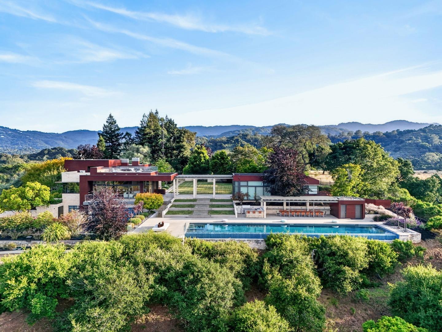
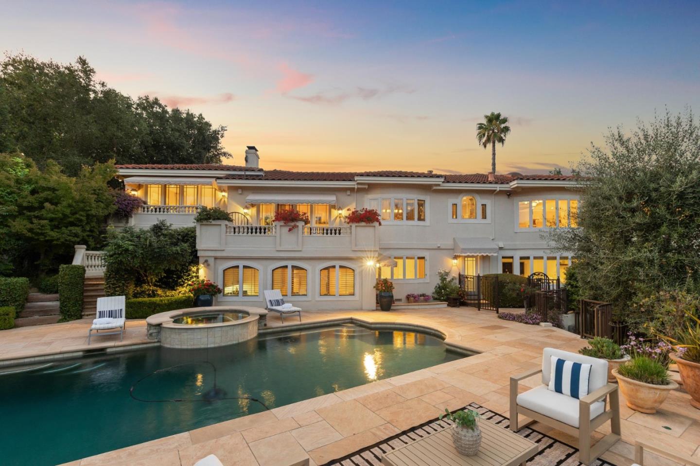
Parker Ranch and the western foothills illustrate how dramatically Saratoga changes as it climbs. Here, the experience of a home can be shaped by the approach road, slope, tree canopy, natural drainage, and the way a building opens toward a garden or a distant outlook. Properties may be more individually designed and can include expansive grounds or carefully terraced outdoor areas. Not every hillside parcel has a view, and a larger gross lot does not necessarily mean more usable flat outdoor space.
Architecture in the foothills often responds to land rather than to a uniform street grid. A residence may be set back among trees, use multiple floor levels to follow a slope, or emphasize a courtyard or deck sheltered from neighboring properties. The position of the driveway, retaining walls, vegetation, and accessible paths can matter as much to comfortable daily use as the arrangement of bedrooms. The most thoughtful homes here acknowledge the natural site instead of treating the hillside as a flat suburban lot.
Western Saratoga also has wildfire and wildland–urban-interface considerations that are not interchangeable with those of a valley-floor street. The city identifies designated high fire-hazard areas and has adopted updated tree and fire-prevention rules, including changes effective March 2026. Home hardening, defensible space, evacuation access, insurance, and maintenance requirements should be checked through current official maps and property-specific records; this is part of living responsibly in a beautiful foothill landscape.
Names such as Congress Springs and Glen Una recall parts of Saratoga's earlier resort and agricultural history. The former mineral-spring resort in the hills helped give the city its name, while Glen Una was once among the area's notable prune-growing ranch landscapes. Today, the broader western neighborhoods include a mix of established houses, individually developed properties, and places where Saratoga Creek, hill roads, and wooded scenery remain close companions.
Congress Springs Park on Glen Brae Drive offers a neighborhood recreational setting, while roads leading into the hills have a very different relationship to the city than the more regular residential network below. The historic names refer to a broad landscape and should not be treated as identical to current legal parcel, neighborhood, or school boundaries.
In eastern and northeastern Saratoga, neighborhood labels such as Pride's Crossing and Bellgrove help describe areas that are physically closer to the larger Silicon Valley road and shopping network. Houses here reflect later suburban growth, with a mix of ranch forms, remodels, and newer construction. A street near Prospect Road or Highway 85 has a different set of daily connections from one at the foot of the mountains.
Bellgrove Park provides neighborhood-scale outdoor space, and commercial destinations along Saratoga–Sunnyvale Road serve many practical errands. This portion of the city demonstrates why a Saratoga address does not automatically indicate a particular school district, the same lot configuration, or identical access to the Village. Small changes in road position and city boundaries can change how nearby amenities are reached.
Beyond the named areas, Saratoga has small pockets of mid-century modern residential design, including homes associated with Joseph Eichler's California modernist approach on streets such as Shubert and De Havilland. Many nearby houses are not Eichlers, so the architecture should always be identified by the individual property rather than by a general neighborhood label.
These houses are a useful reminder that architectural quality does not depend on ornament or scale. Roof form, glazing, interior courtyards, natural light, and the continuity between living rooms and gardens can create a powerful sense of space within a low-profile building. Thoughtful maintenance and remodeling can preserve that relationship, while poorly placed additions may diminish it. Saratoga's architectural story includes both preserved modernism and older, more traditional forms.
Historic Saratoga Village is centered on Big Basin Way, also State Route 9. Its restaurants, cafés, small shops, galleries, and civic landmarks give residents a place to meet that is distinct from the large retail corridors of neighboring cities. The pattern is intimate rather than monumental: shopfronts, greenery, outdoor seating, short walks, and streets that recall an orchard town evolving into a suburban city.
The dining scene is varied, with Japanese, Italian, Mediterranean, Indian, and other restaurants alongside cafés and casual stops. The experience of wandering from one storefront to another is part of the point, not just the destination of a single reservation. Specific venues and hours change, so the long-term value of the district lies in having a recognizable main street embedded in the city's history.
Blaney Plaza, the Saratoga History Museum, nearby historic buildings, and the Foothill Club make the Village a place to learn about Saratoga while using it. West Valley College hosts a separate Saturday farmers' market, drawing residents to seasonal produce and other food vendors. The Village and the college market form two complementary parts of local life rather than one all-purpose town center.
Saratoga has several architectural and cultural landmarks of genuine regional significance. The Saratoga Foothill Club, completed in 1915 and designed by architect Julia Morgan, is an Arts and Crafts–influenced redwood clubhouse associated with a women's study organization formed in 1907. Morgan, a University of California, Berkeley graduate and California's first licensed woman architect, used material, structure, and setting to create a building rooted in its landscape. The club remains active and is recognized for its historical significance.
Hakone Estate and Gardens offers an entirely different architectural language. Begun in 1915 as Isabel and Oliver Stine's Japanese-inspired summer retreat, the property combines gardens, historic structures, and carefully composed views. The garden's pathways, water, planting, and small buildings show how landscape design can shape an experience without relying on the size of a residence. The City of Saratoga purchased the property in 1966 to protect it, and it is now operated by the Hakone Foundation.
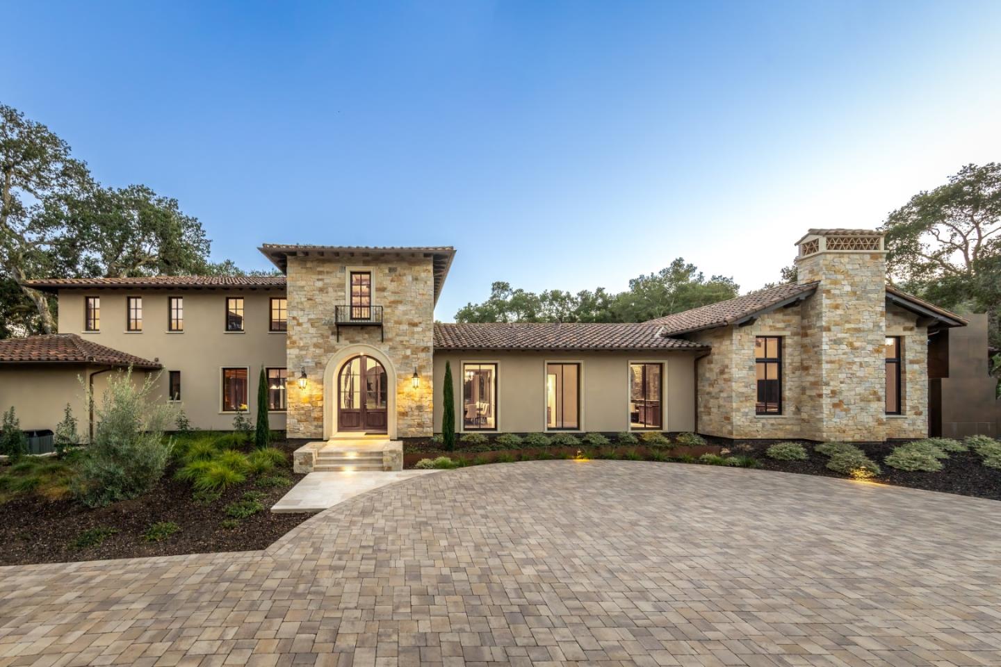
Montalvo Arts Center grew out of Villa Montalvo, the Mediterranean-style country house built for James Duval Phelan. Its villa, gardens, outdoor art, performance and artist programs, and woodland trails make culture part of the local landscape. The grounds are more than a dramatic venue: their relationship to the hills, formal gardens, and paths creates opportunities for quiet visits and community events. Trail operations and visitor access are subject to the site's current rules.
The Mountain Winery carries still another legacy. Paul Masson's winery began in the era when local vineyards helped shape the valley's identity. Today its hillside setting and concerts connect visitors with both the wine-growing past and contemporary performing arts. These cultural destinations are distinctive because their architecture, landscape, and community use have survived alongside the growth of Silicon Valley.
Saratoga's park system ranges from small neighborhood gathering places to large, more natural settings. Wildwood Park near the Village provides a shaded creekside environment for picnics and community gatherings. El Quito Park has sports and recreation facilities, while Kevin Moran Park, Congress Springs Park, Bellgrove Park, and other smaller parks serve local daily routines. Each plays a different role; some are designed for active recreation, others for brief walks or quiet breaks.
Quarry Park lies up the hills from downtown and offers a more natural landscape with trails and wooded surroundings. Montalvo's hillside paths provide another connection between the residential city and forested slopes. The Heritage Orchard near the library is unusual among city parks: it preserves an agricultural use and allows people to see living fruit trees where so much of the valley's former orchard land has disappeared.
Saratoga Creek and the tributary landscapes are part of the city's environmental identity, but they also bring property-specific issues such as creek setbacks, drainage, riparian habitat, and stormwater management. Public access to natural spaces is not uniform, and the presence of a green corridor does not imply a publicly maintained trail through private property. Those distinctions are important to residents who live beside the water as well as people visiting local parks.
Education is a visible part of Saratoga's community life, from neighborhood school activities to the college campus, library programs, and continuing-education opportunities. But the city is not served by one uniform K–12 school system. The Saratoga Union School District explains that addresses within the city fall into four different transitional-kindergarten-through-eighth-grade districts: Saratoga Union, Campbell, Cupertino, and Moreland. Separate high-school districts also serve different parts of Saratoga.
Within Saratoga Union, Argonaut, Foothill, and Saratoga elementary schools operate under an open-enrollment approach in which an eligible family can request a school, but placement depends on available space; proximity to a particular campus does not guarantee assignment. Redwood Middle School serves sixth through eighth grades within that district. Saratoga High School is a major local institution, while other neighborhoods can fall within different high-school boundaries. The district for any particular property should be checked directly with the official district and county records.
West Valley College, at Fruitvale Avenue, adds an important educational and cultural dimension beyond K–12 schooling. The campus supports degree programs, arts instruction, public-facing events, and a weekly farmers' market. The Saratoga Library, part of the Santa Clara County Library District, supports reading, events, and learning throughout life. Together with local recreation programs, these institutions create places where longtime residents, students, families, and newcomers share the same city.
Saratoga has no Caltrain or BART station within its city limits. Driving routes generally depend on Highway 85, Saratoga Avenue, Saratoga–Sunnyvale Road, Saratoga–Los Gatos Road, and Highway 9, with connections to Cupertino, Campbell, San Jose, and the wider South Bay. VTA bus service, including routes serving West Valley College, provides transit connections, but frequency and the usefulness of transfers depend on the specific origin, destination, and day.
The city is not uniformly walkable or uniformly car-dependent in every setting. The Village offers a compact environment suited to short walks among restaurants and shops. Some residential blocks are pleasant for walking or cycling, while longer roads, wide intersections, incomplete sidewalks, and hillside grades can make a similar-looking map distance feel very different. The trip from a home to a school, park, workplace, or transit stop is better understood as an actual route than a citywide travel-time claim.
Saratoga's Mediterranean climate brings generally dry summers and wetter winters, with the Santa Cruz Mountains shaping weather on the city's western edge. The valley floor can be warm and sunny while wooded hillsides provide more shade, cooler-feeling pockets, or different wind exposure. A house's orientation, trees, roof form, and outdoor shelter influence how comfortably gardens, patios, and indoor spaces are used through the seasons.
Gardening is part of the area's history as well as its daily landscape. From surviving orchard trees to established residential gardens, Saratoga is a city where planting, irrigation, shade, and the care of mature trees can significantly affect a property's character. A thoughtfully positioned window or courtyard can frame greenery and make a house feel connected to nature, while a heavily shaded space or poorly managed drainage may require different maintenance decisions.
The western hills introduce additional considerations, especially where development meets wildland vegetation. Saratoga has identified Very High Fire Hazard Severity zones, and the city's wildland–urban-interface guidance addresses defensible space, tree maintenance, and home hardening. Risk and insurance availability are property-specific. These realities do not diminish the natural beauty of the area; they are an essential part of understanding and caring for a hillside home.
The city's architectural range is unusually broad. A historic house near the Village may derive its appeal from a front porch, wood detailing, garden walls, and a close relationship to the street. A mid-century ranch may be organized around a large rear yard and broad glass doors. A hillside home may depend on carefully placed terraces, a sheltered courtyard, and an approach road that responds to the land. Each type asks different questions about maintenance and improvement.
In an established flatland neighborhood, the position of a house on its lot, the scale of mature trees, and the relationship to neighboring windows can matter more than adding the maximum possible enclosed area. In the foothills, slope, drainage, retaining walls, access, and wildfire measures become part of architectural quality as well as ownership responsibilities. A well-designed renovation should improve natural light, daily circulation, privacy, and usable outdoor space without assuming that bigger always means better.
For owners considering changes and for sellers preparing to present a home, a clear understanding of original design, permits, zoning, school boundaries, and property condition can help distinguish enduring qualities from superficial finishes. No broad neighborhood statistic can substitute for a careful assessment of the individual site and house. Saratoga's most convincing residential character often emerges from the balance of building, landscape, and the space deliberately left open.
Saratoga is often discussed as a luxury residential market, but the city's real estate cannot be reduced to large homes or a single price tier. In established, relatively level neighborhoods, the value of a property may be closely connected to usable garden area, privacy, mature trees, and the comfort of a well-planned one-story or two-story home. Around the Village, historic setting and access to restaurants and community landmarks create a different kind of daily value. In the western foothills, a property's individual site becomes even more important than a broad neighborhood label.
Land is not interchangeable. A gently graded parcel that accommodates easy outdoor living may serve a household very differently from a much larger, steeper, wooded site. Hillside ownership may also involve access, drainage, retaining walls, wildfire mitigation, and insurance considerations. These are not reasons to discount the landscape; they help explain why the architectural response to a site matters. In Saratoga Woods, specific one-story zoning protections add another dimension to neighborhood character and the scope of potential changes.
Saratoga's appeal also intersects with the wider Silicon Valley economy and its range of educational institutions and cultural destinations. Yet there are different school districts within the city, and no neighborhood identity guarantees a particular assignment or future property return. For longtime owners, understanding the home as a combination of land, architecture, permitted use, and landscape can guide improvements and eventual presentation. For newcomers, it helps explain why two Saratoga addresses can offer very different ways of living.
Saratoga's planning documents emphasize the relationship between residential neighborhoods, open space, hillside views, and the Village's historic setting. The city is also responding to wider California housing requirements, with designated areas for different housing types and updated development standards. In April 2026 it adopted objective Village Design Standards, a useful example of how preservation goals and current housing rules are being reconciled.
A planning designation is not a guarantee that a new building will appear or that a neighborhood will remain unchanged. For any specific property, current maps, municipal ordinances, approved projects, historic status, fire designations, and permits provide the relevant information. The larger story is a community working to accommodate change while retaining the distinctive relationship among its Village, residential streets, orchards, gardens, and hills.
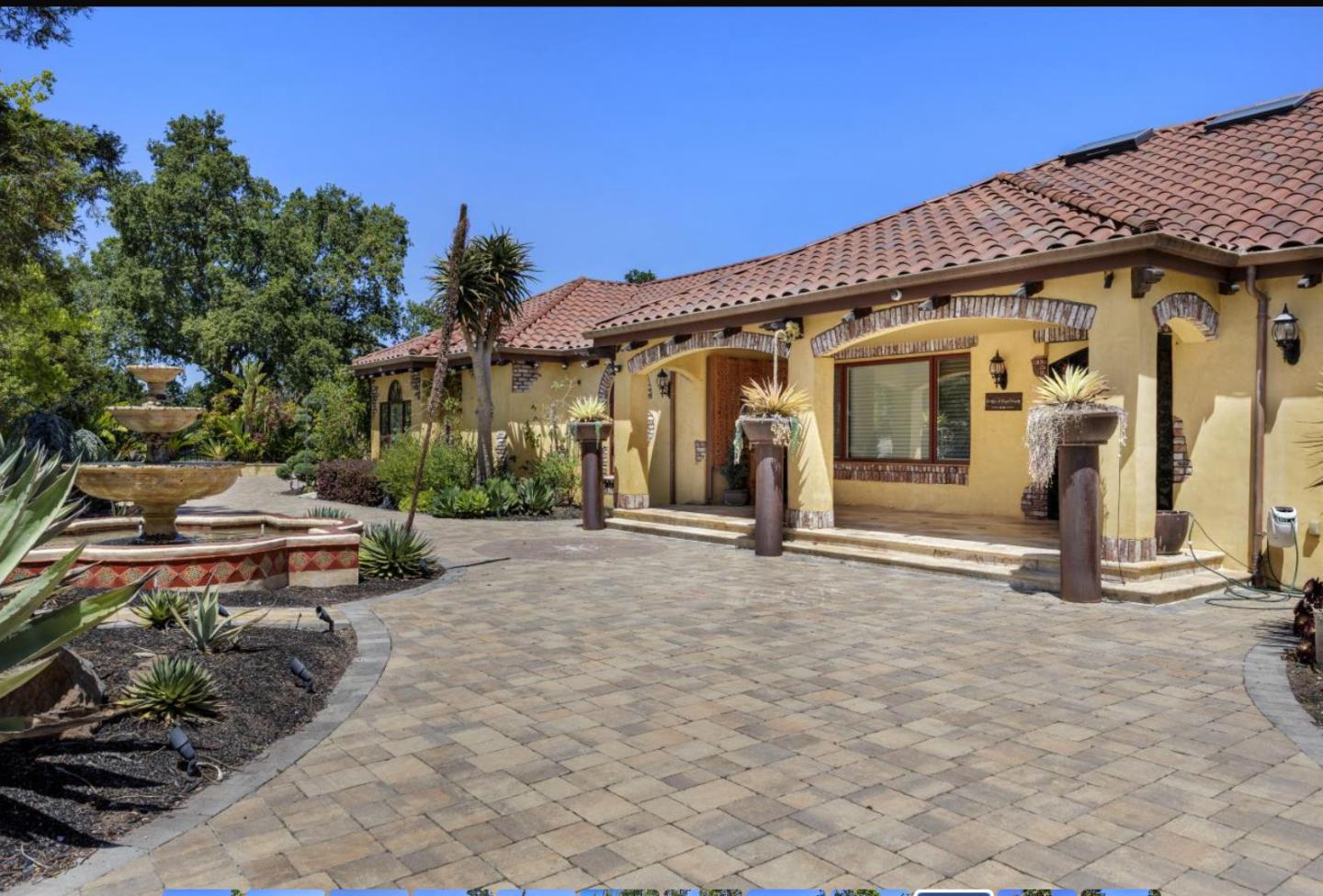
Saratoga is defined by contrasts that work together: a historic main street beside a modern technology region, a surviving orchard among houses, Japanese gardens and Mediterranean estates in wooded foothills, Julia Morgan's small redwood clubhouse, and neighborhoods ranging from traditional ranch streets to custom hillside residences. Its character does not come from one price range, one school name, or one architectural fashion.
For a longtime resident, Saratoga may be the familiarity of a neighborhood park, the care of a garden, or the way afternoon light reaches a living room. For someone newly exploring the city, it may be the discovery that the Village, Golden Triangle, Saratoga Woods, and western foothills offer profoundly different experiences within the same boundary. Saratoga's enduring appeal lies in the connection between everyday life, architecture, history, and the natural landscape.
Browse the available properties in the area below.
Browse the available properties in the area below.